|
FROM where the ferry landed at the north of the Russell Island, I followed the road to Canaipa Point, the easternmost point of the island. From there I headed south following the coast negotiating the rather complex array of streets through the residential areas and tracks through the reserves to almost the bottom of the island.
The island itself is quite hilly and still mostly covered in dry gum forest. It is almost completely surrounded in mangroves separating the land from the shallow channels of water of the southern end of Moreton Bay. The swampy conditions brought clouds of mosquitoes and tiny sandflies worse than I have ever seen before.
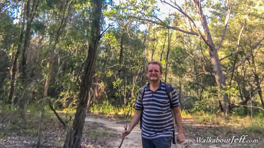
I am pictured near the end of the Binging Trail which passes through the Turtle Swamp Wetlands over low forested hills above the mangroves of the Canaipa Passage.
|