Introduction to today's journey
Today's journey heads to the coast at the mouth of the Riwaka River, before continuing to Little Kaiteriteri Bay, from where we kayak southward to Ruby Bay, then northward along the coast to as far as Split Apple Rock.
Today's Journey
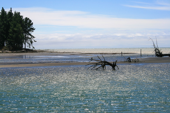 |
Mouth of the Riwaka River at the very flat Tasman Bay. The mountains of the Marlborough Sounds is just visible across the bay. |
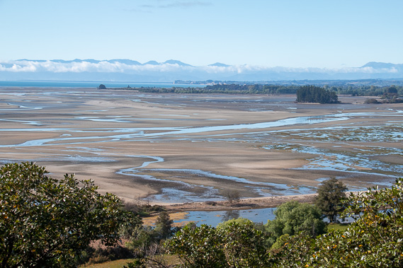 |
We follow the coast north along the mud flats of the mouths of the Riwaka and Motueka Rivers. Beyong the mud flats are the pristine waters of Tasman Bay framed by the Richmond Ranges behind Nelson. |
 |
Reaching Tapu Bay at its northern end at Anarewa Point. From here we kayak along the coast towards Split Apple Rock. |
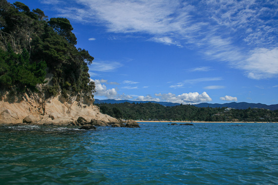 |
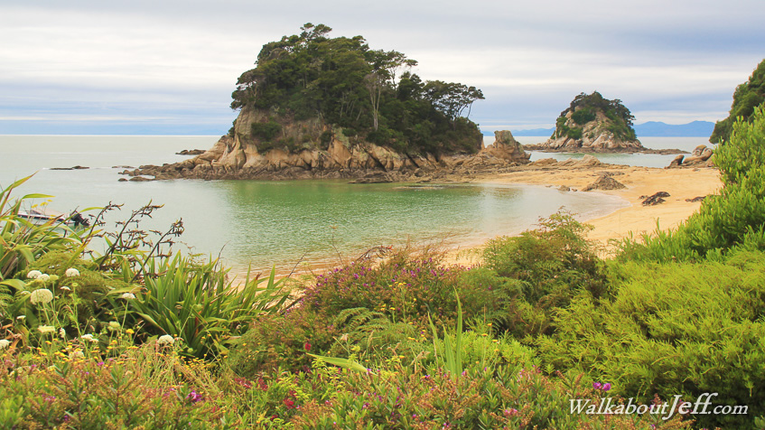
Rounding the granite headlands of Torlesse Rock into Kaiteriteri Bay. |
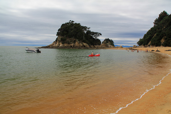 |
Landing at Little Kaiteriteri to stop for lunch as the cloud quickly covers the sky. |
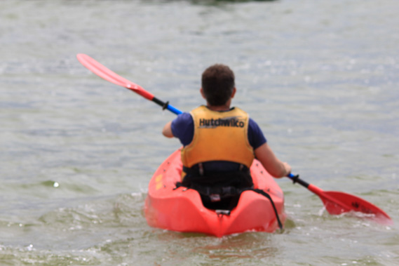 |
I set off again heading further north along the coast. |
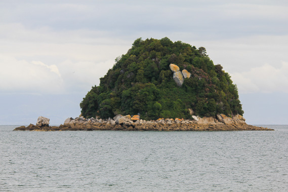 |
Passing Ngaio Island a short distance off the coast. |
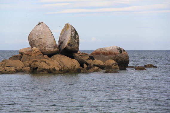 |
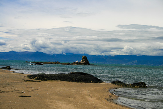
Reaching Split Apple Rock, a unique granite formation just off the end of Tokongawha Point. |
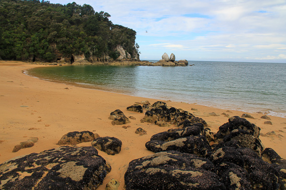 |
Landing on the beach behind Split Apple Rock. |
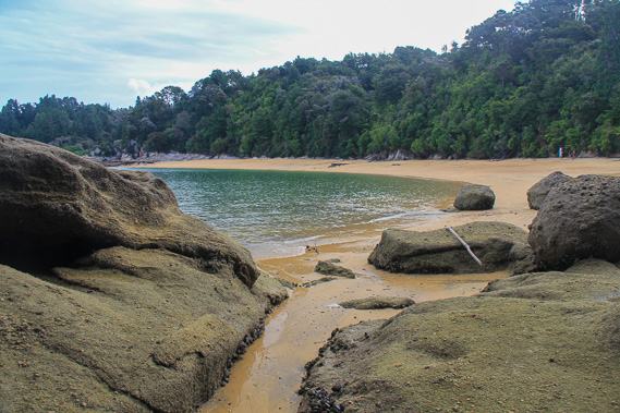 |
Exploring the caves beside Split Apple Rock in the evening. |
|