Introduction to today's journey
NAMED after the town of Stonington, Connecticut, two bases were set up on Stonington Island. The United States set up East Base in 1939, followed by the British Antarctic Survey who set up the second base in the 1940s for surveying. The British base was used until February 1975 when it was abandoned and protected as a historical site. Important geographical expeditions were conducted from this base, including flights mapping the southern half of the peninsula, and geological surveys in various locations including the nearby Red Rock Ridge. One of these expeditions in 1949 was to ascertain what was at the time one of the last remaining geographical discoveries at the time - whether Antarctica was one or two continents. They confirmed it was one continent, but very recent surveys have revealed that if all the ice were to melt off Antarctica, the peninsula would actually be a large island separate from the main continent thanks to massive glacial erosion.
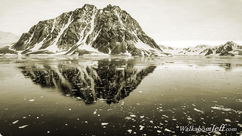
Today's journey heads across the south of Adelaide Island reaching the Antarctic Peninsula at Red Rock Ridge where we make our first continental landing. From there we follow the coast northward to Stonington Island where we land at the UK base.
Today's Journey
View full content...
|