|
||||||||||||||||||
|
||||||||||||||||||
Home > Diaries > 2005 > 4 |
||||||||||||||||||
|
||||||||||||||||||
|
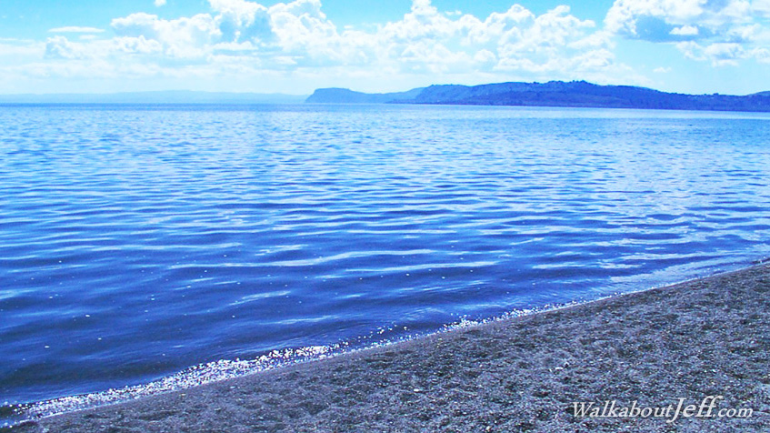
AT THE centre of the North Island is New Zealand's largest lake. Lake Taupo is a pristine inland sea that feeds the Waikato River, New Zealand's longest river. Though deceptively calm, the pumice that floats around the edge of the lake gives a clue to its violent past. The lake is a large volcanic caldera that has in the past produced spectacular eruptions. The last eruption of this caldera was in 83AD when its walls collapsed. Fortunately this was in a time before human settlement in New Zealand. The eruption was so severe that records show it was heard from China and a few months afterwards the volcanic ash significantly darkened the sky over Europe. The devastation here in New Zealand must have been phenomenal. The lake has since refilled and remained calm, but another collapse is inevitable. |
||||||||||||||||||
|
||||||||||||||||||