|
||||||||||||||||||
|
||||||||||||||||||
Home > Diaries > 2005 > 10 |
||||||||||||||||||
|
||||||||||||||||||
|
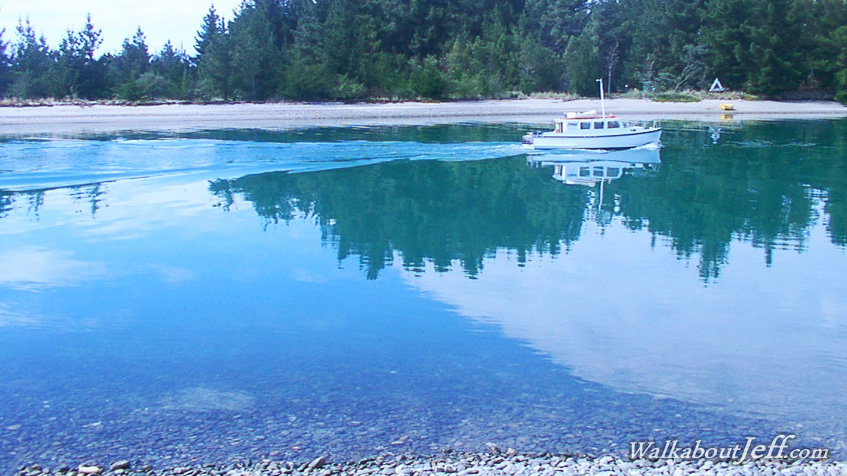
THE MOUTERE Inlet straddles the back of Tasman Bay. There are a couple of entrances to the inlet, the largest and deepest being the channel that makes up Port Motueka, dividing the mainland from Jacket's Island. Here pristine water floods and ebbs from the inlet every day. During high tide the boats come and go through the deep water. During low tide they remain at sea or in the port. |
||||||||||||||||||
|
||||||||||||||||||