|
||||||||||||||||||
|
||||||||||||||||||
Home > Diaries > 2011 > 252 |
||||||||||||||||||
|
||||||||||||||||||
|
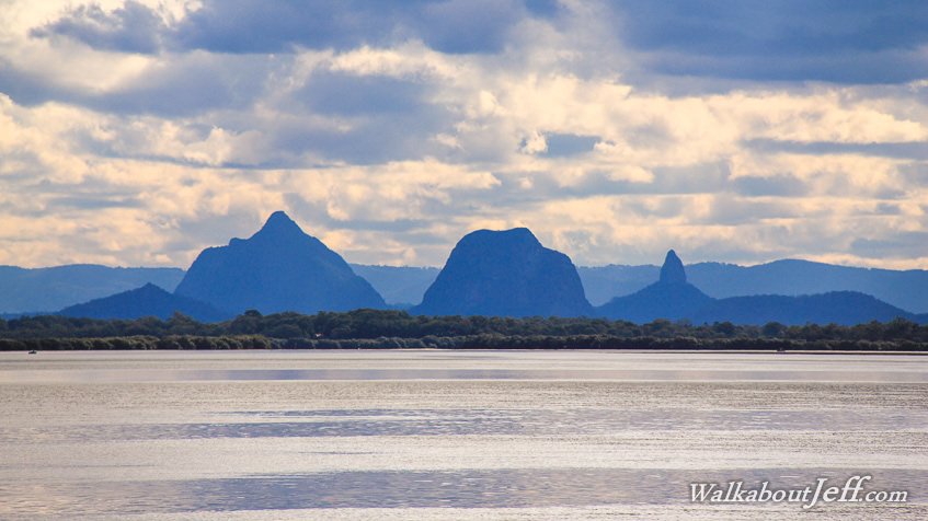
DARK cloud hovered overhead as I looked from Bribie Island across the Pumicestone Passage to the Glasshouse Mountains in the distance. The clouds were from a winter frontal system that had come across the entire country. It has almost no energy left before it arrives here on the east coast. |
||||||||||||||||||
|
||||||||||||||||||