|
A COUPLE of short walks around the Mount Mee area today, the first going through the Paccabeen Walk, going through pretty rainforest. This was followed by another short walk to Bulls Falls where only a trickle of water was falling over the deep rocky escarpment.
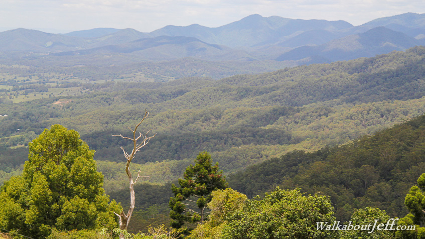
It was on the way back going across the ridge towards Mount Mee Road that I had the spectacular view of the D'Aguilar Range looking south, a sweeping forested range of rolling hills rising to 770 metres running between the coast where Brisbane is located, and the Brisbane Valley on the other side. The Brisbane Valley occupies a wide plain between the D'Aguilar Range and the Great Dividing Range.
|