|
FOLLOWING a rather long winding drive along the length of Blackall Range I made a stop at Mapleton Falls National Park. The viewing platform was just a hundred metres from the rather small car park.
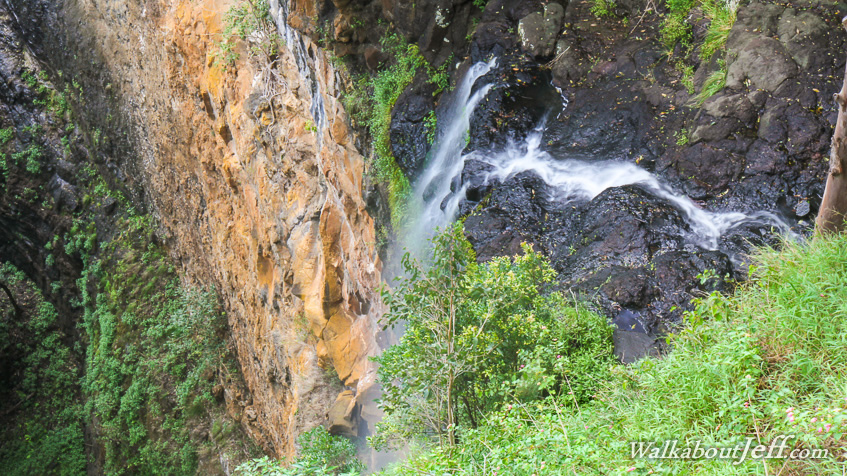
The viewing platform looks down onto the top of the waterfall. The stream steeply cascades down black basalt rock to drop 120 metres down a vertical face into the dark rainforest valley. The valley itself projects some distance out towards the Mary River.
After admiring the falls I followed the short Wompoo circuit through the rainforest following the ridges around the top of the falls.
|