|
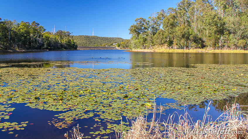
AT 2.6 degrees it was the coldest morning since 2011. I took a walk around Enoggera Reservoir starting before sunrise. The trail traversed through gum forest regenerating from a huge bushfire in 1971 that had completely wiped out the original forest.
The cold air hung still over the dark water under cloudless sky in anticipation of the rising sun. Beside the trail the occasional bird followed me in catching the small insects I disturbed as I passed by. It was no doubt struggling to stay warm in the near freezing conditions.
I completed the Araucaria circuit around one of the peninsulas with a diversion following a forestry trail continuing steeply rising and falling further around the lake. The ridges quickly warmed to the sun, but the lower air over the lake took a lot longer to warm.
|