|
||||||||||||||||||
|
||||||||||||||||||
Home > Diaries > 2014 > 388 |
||||||||||||||||||
|
||||||||||||||||||
|
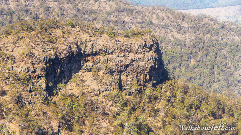
A QUIET well graded track heading to the west of O'Reilly's Plateau passed through the relatively sparse forest exposed to the elements. A southerly was blowing, reminiscent of New Zealand weather. Being at nine hundred metres above sea level made a big difference. Aside the wind blowing through the forest canopy and the calls of a few birds, the forest was silent. The trail gradually descended until suddenly reaching the edge of a precipice. A large platform was erected at Python Rock Lookout. The wind here was fierce, accelerated by the point and the arrangement of the gullies. From the lookout I could see across to Castle Crag, a long spur heading well out towards the upper reaches of the Albert River. The cliff surrounded much of the plateau. The cliff was made from rhyolite, a much tougher rock than the layers of basalt above and below it from different eruptions which all occurred over twenty million years ago. The cliffs surrounding much of the national park has created a spectacular lost world remnant of Gondwanaland on the higher slopes. Superblog from today: |
||||||||||||||||||
|
||||||||||||||||||