|
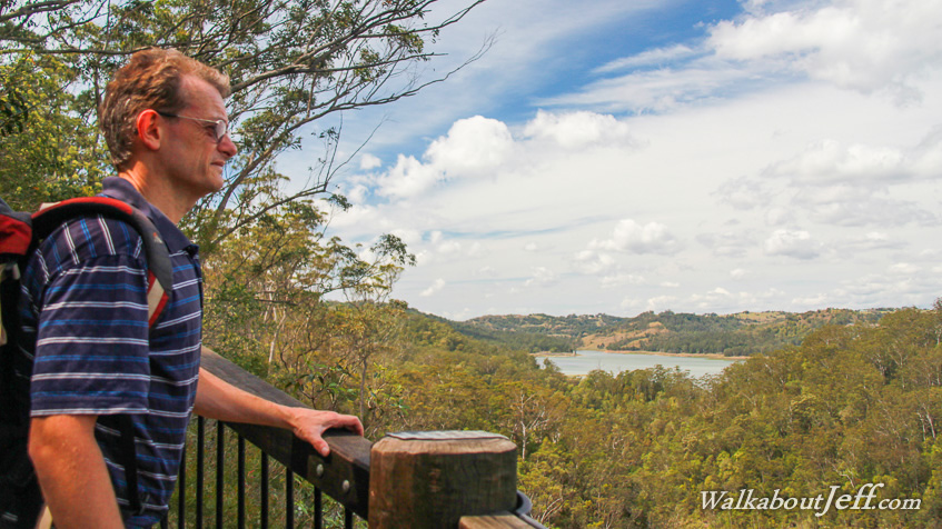
STARTING from the Baroon Pocket Dam, I followed the first part of the Sunshine Coast Great Walk traversing the Obi Obi Gorge.
The gorge was cut very deep with precipitous walls of rock on either side. The well graded trail followed the gorge downstream ascending to two lookouts with views over the stream and back to the lake. From the second lookout the trail steeply switch backed down a break in the gorge until it ran beside the stream in thick rainforest. I continued along the trail as it ascended above the lower gorge to the top marking roughly the half way point of the first section of the great walk, ending above Kondalilla Falls.
From the half way point, I returned to the stream stopping for lunch where I took this long exposure shot before returning to the dam. Sometime in the near future I'll be completing this section of trail from Kondalilla Falls.
|