|
||||||||||||||||||
|
||||||||||||||||||
Home > Diaries > 2014 > 390 |
||||||||||||||||||
|
||||||||||||||||||
|
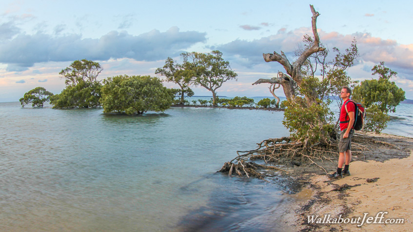
ACCESSIBLE only by a 10 minute ferry ride from the mainland, Coochiemudlo is a quiet backwater. From the sea there is little evidence anyone lives here, but there are a number of houses in the middle of the island with narrow streets linking them. A five kilometre trail goes around the island. I followed the trail around its entire length, hiking across golden beaches, coral rubble and around mangroves. There was quite a lot of variety here in such a small area. I also followed a road through the middle of the island, reaching its highest point before reaching the other side. Coochiemudlo comes from the local Aboriginal word for "where ochre soil comes from". The hills that make up the island are a deep red colour from past volcanic activity. This is most noticeable on the north western corner of the island where a large cut of brilliant red soil is exposed to the sea. This was the point where Matthew Flinders first discovered the island and its Aboriginal settlement in 1799. Blog from today: |
||||||||||||||||||
|
||||||||||||||||||