|
||||||||||||||||||
|
||||||||||||||||||
Home > Diaries > 2014 > 403 |
||||||||||||||||||
|
||||||||||||||||||
|
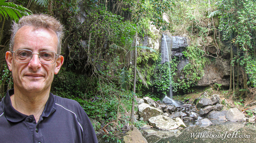
DESPITE two massive storms hitting the city over the past week, almost no rain has fallen on Mount Tambourine. The streams were therefore running very low over parched lands. This was especially evident at my first stop at Cedar Creek Falls about half way up to the 600 metre high plateau. A deep scar ran through the parched gum forest along which the trickle of Cedar Creek ran between pools carved deep into the rock. At the top of the plateau I took a hike along the Joolah trail along the upper reaches of Cedar Creek down to Curtis Falls, the only waterfall with a reasonable amount of water flowing over its edge into the dense rainforest. On the other side of the plateau was a trail zig-zagging down the side to a shelf in dense and spectacular rainforest to the edge of a cliff where witches falls tumbled over - or at least it would do so if there was any water. From there the trail ascended back up the hill passing through large crevices in the cliff back to the parched top where a bush turkey led the way back to end of the trail. Superblog from today: |
||||||||||||||||||
|
||||||||||||||||||