|
||||||||||||||||||
|
||||||||||||||||||
Home > Diaries > 2015 > 415 |
||||||||||||||||||
|
||||||||||||||||||
|
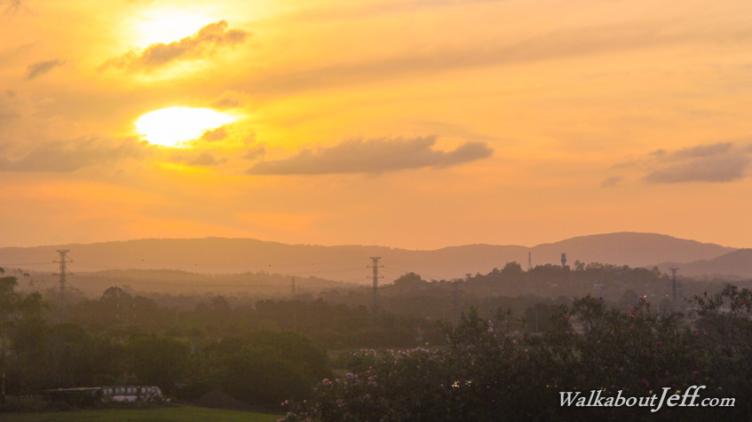
BRISBANE'S northernmost suburb overlooks the farmlands of the South Pine River. The regular flooding of this valley creates a dramatic ending to the sprawling suburbia. The summer sun set in behind the dreamy clouds above the silhouette of the D'Aguilar Range. The valley in the darkness below is already asleep. |
||||||||||||||||||
|
||||||||||||||||||