|
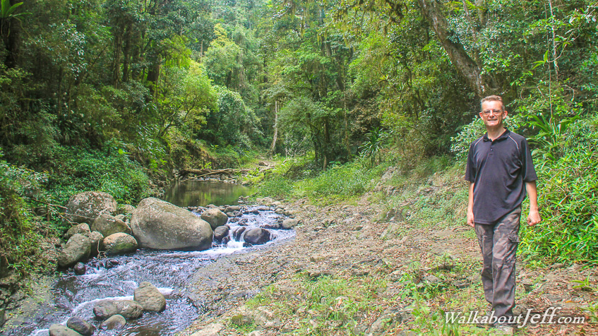
STARTING from O'Reilly's I followed the Canungra Creek Circuit descending over 400 metres into the gorge.
The 38 degree humid heat was very intense making this a very tropical hike. There were a number of landslides and fallen trees from a huge unseasonal storm that had hit in August closing the trail for several months.
Upon reaching the gorge I continued to follow the trail upstream along the creek with several crossings between the pools and rapids before ascending along the Box Forest Circuit back to O'Reilly's along the border track.
|