|
||||||||||||||||||
|
||||||||||||||||||
Home > Diaries > 2015 > 430 |
||||||||||||||||||
|
||||||||||||||||||
|
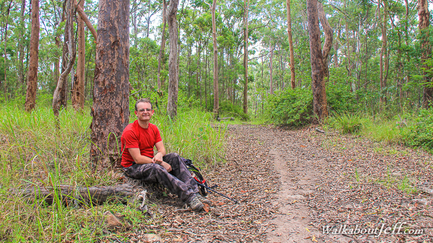
EXPLORING Moggill Conservation Park for the first time today. The park is a large stand of gum forest draped over three ridges in between two deep gullies. Although this was the middle of the rainy season, much of the land here was parched, apart from in the gullies where lush vegetation was making the most of the water from recent rainfall. It was a rather hot and very humid day. Starting at Chalcot Road we followed the gravel Centre Road ascending and following the middle ridge turning off to follow the Ugly Gully Break before taking the Powerline Road up to the start of the Rocky Mountain High Break. This trail followed the main ridge to the end of the park. From there we continued following the track uphill to the summit of the ridge's highest summit which is unnamed as far as I know. From there we returned along the trail to the very steeply descending Lantana Break which we struggled down to the Powerline Road which we followed to Centre Road and back to the start. Here I am about to cross the Little Ugly Creek. The fresh vegetation made the gully very pretty today. I imagined it would be very ugly here during the spring dry season when the vegetation would be all but dead. Blog from today: |
||||||||||||||||||
|
||||||||||||||||||