|
DOING a day walk along the middle section of the Sunshine Coast Hinterland Great Walk, we began at the Flaxton Mill Road track entrance.
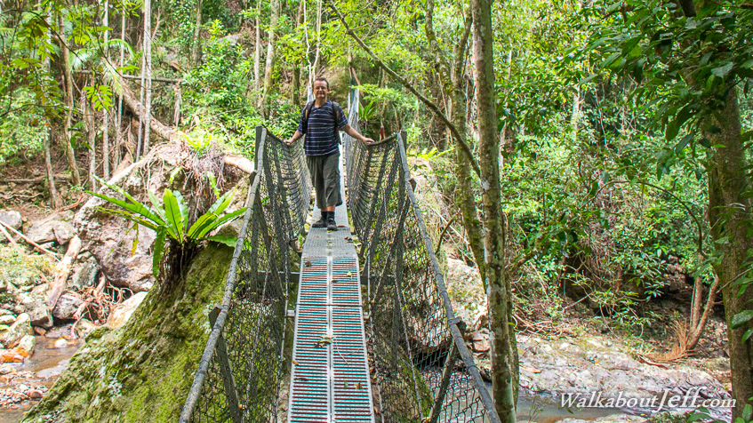
We followed the flat top of the ridge to Flaxton Walkers' Camp before descending 240 metres through eucalyptus forest into the steep Baxter Creek Gorge set in humid rainforest. From the swingbridge the track rose steely through rainforest to the Mapleton Ridge at exactly the same altitude. From here the trail followed the road to the Mapleton Falls Lookout which was damaged from the recent cyclone. From there we headed the 7km back along the track to Flaxton Mill road.
Blog from today:
Sunshine Coast Hinterland Great Walk
|