|
RETURNING to the Gold Coast, I headed northwards walking through the jungle of towering high rise resorts. At some point they suddenly gave way to scrubby sand dunes occupying the narrow sandspit.
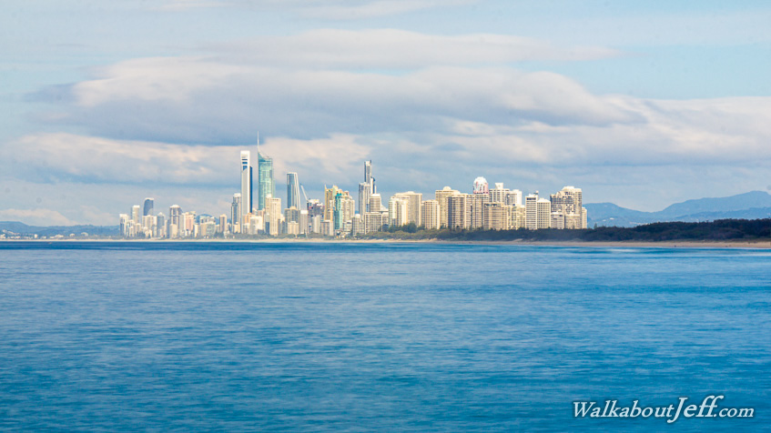
Only a few decades ago the entire Gold Coast was no more than a scrubby sandspit occupying the narrow gap between the Pacific Ocean and the Nerang River. The Federation Walk negotiated its way over the low dunes of shifting sands for about four kilometres until reaching the broad channel separating the mainland from South Stradbroke Island, the first of several sand islands marking the eastern side of Moreton Bay. Here the Nerang River broke through the artificial channel between two large rocky breakwaters.
I walked to the end of the breakwater where I had a spectacular view of the ominous concrete jungle sitting in an orderly fashion behind the beach and in front of the mountains of the Tweed Volcano towering towards the clouds above.
|