|
||||||||||||||||||
|
||||||||||||||||||
Home > Diaries > 2016 > 497 |
||||||||||||||||||
|
||||||||||||||||||
|
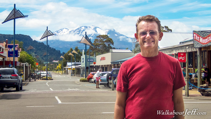
HEADING north from Wellington I eventually arrived in the small town of Ohahune sitting in the shadow of Mount Ruapehu, the North Island's highest volcano towering 2797 metres above sea level. The cloud cleared enough revealing the mountain, capped in snow despite it being the height of summer. Snow melting from the Central North Island volcanoes provide the source of the river which I will be travelling downstream over the next five days. Blog from today: |
||||||||||||||||||
|
||||||||||||||||||