|
||||||||||||||||||
|
||||||||||||||||||
Home > Diaries > 2018 > 673 |
||||||||||||||||||
|
||||||||||||||||||
|
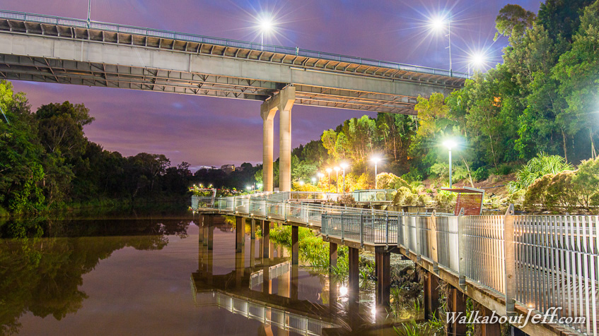
THE PLACID black water of the Bremer River slowly flowed downstream with the outgoing tide as the pre-dawn sky began to get light. The boardwalk follows the river at the bottom of the deep ravine under Ipwich, once a coal mining area. Before the railway line was built, the river was the main source of transport between Ipswich and Brisbane some 40 kilometres as far as the crow flies, but closer to 90 kilometres given the wildly meandering nature of the river. |
||||||||||||||||||
|
||||||||||||||||||