|
||||||||||||||||||
|
||||||||||||||||||
Home > Diaries > 2018 > 685 |
||||||||||||||||||
|
||||||||||||||||||
|
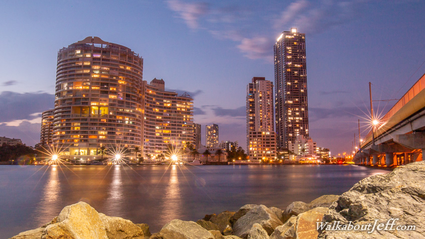
STARTING at Hope Island I followed the coast at the southernmost extreme of Moreton Bay until reaching the bridge where the Nerang River flows into the sea. The forecast storms didn't arrive to cool the muggy day, but the sunset looking back over the high rises of Southport was spectacular nonetheless. |
||||||||||||||||||
|
||||||||||||||||||