|
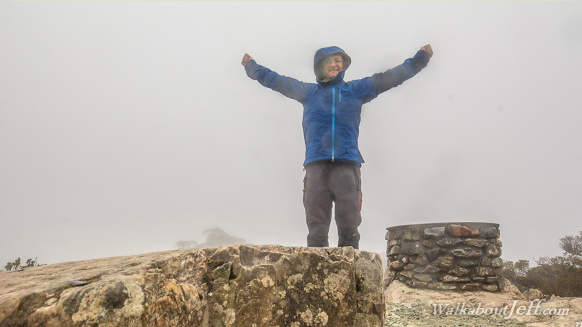
THE FINAL day on the Routeburn Track involved a climb up to a side track going above the bushline to an alpine wetland and onto Key Summit, a vantage point once used to survey the Hollyford Valley.
Unfortunately today the cloud had closed in with heavy rain on its way so there wasn't the spectacular views of recent days. I did reach the summit though, and headed back down to the main track from where I descended to The Divide, the lowest pass of the Southern Alps at 532 metres above sea level, and the end of the Routeburn Track.
The shelter at the end of the track was surprisingly busy with people waiting for their respective buses all being fed free food - a most welcome end of the track. From here I caught my bus into Te Anau to rest before starting my next trek.
|