|
CLIMBING the rough track out of Mackenzie I returned to above the bushline where the track continued following the Hollyford Valley high above the river towards the Milford Road.
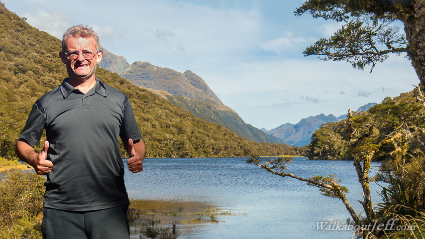
The track eventually descended into another glacial hanging valley to Lake Howden, at the junction of the Routeburn and Greenstone Tracks. A low saddle across the main divide is above the end of the lake, taking the Greenstone Track back towards the Dart Valley.
I relaxed by the pristine subalpine lake in the late afternoon with one more day left on the Routeburn Track before returning to civilisation.
|