|
||||||||||||||||||
|
||||||||||||||||||
Home > Diaries > 2018 > 695 |
||||||||||||||||||
|
||||||||||||||||||
|
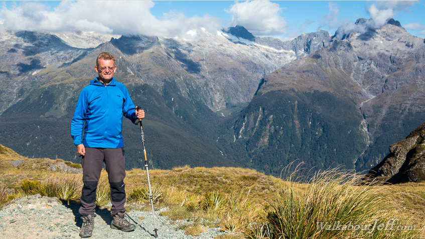
LEAVING Routeburn Falls hut at first light, I followed the track above the dramatic hanging valley above the tree line through tussock until eventually reaching Harris Saddle. The saddle sits on the main divide of the Southern Alps making the boundary between Aspiring and Fiordland National Parks. After some time at the saddle climbing nearby Conical Hill, I continued following the track sidling the Hollyford Valley with views back to the Tasman Sea before a long descent to Lake Mackenzie. |
||||||||||||||||||
|
||||||||||||||||||