|
FOLLOWING a spectacular sunrise at Routeburn Flats, I headed further along the track steeply rising around the back of the valley to Routeburn Falls Hut perched at the lip of a hanging valley just above the bush line. The view from the hut back down the river was spectacular, but the higher altitude and exposure made this a very cold place to stay.
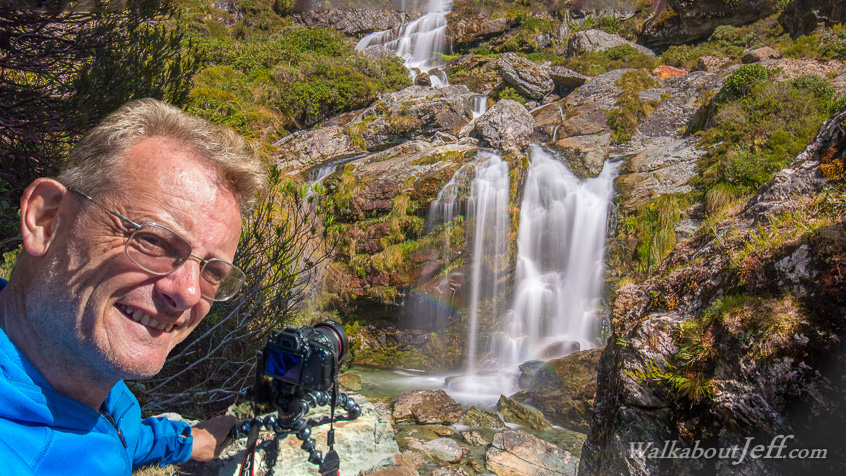
The river dropped dramatically from the hanging valley into a deep ravine along a fault line that had split this part of the mountain apart. From the ravine the Route Burn cascaded down the mountain into Routeburn Flats clearly visible far below.
The ravine provided some excellent cliffside vantage points to photograph the waterfall tumbling into deep turquoise pools amongst the rocky rubble along the bottom of the fault. From this view the sun nicely captured the spray of the waterfall producing a small rainbow.
|