|
EXPLORING the braided Rakaia River today, we started at the Rakaia Gorge, where the river narrows through a rocky gorge between Mount Hutt and the Big Ben Range.
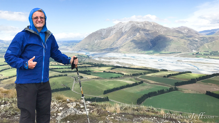
From there we headed upstream into what had been a large glacial valley, now filled with the braided Rakaia River. Part way upstream we reached Lake Coleridge, a lake filling a large depression left by a glacier. The water from the lake is diverted down the hill to an old power station still in operation.
From Lake Coleridge, we followed the rough Peak Hill track steeply rising through the tussock up to a rocky ridge beneath the summit from where we had spectacular views up and down the valley. The weather was starting to close in, so we didn't stay long and headed back down before the rain came.
|