|
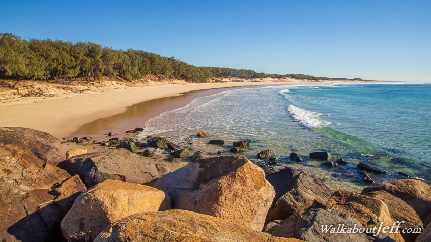
FROM North Currigee I headed back across the narrow island to the sweeping ocean coast for the sunrise. I followed the coast southwards to its far end where a rocky wall separated the sandy beach from the deep channel of The Cut.
Looking across The Cut a longer rock wall marked the northern end of the busy Gold Coast beaches with the towers of Surfer's Paradise in the distance. Several surfers had swum across The Cut to surf on this relatively peaceful beach away from the crowds.
Having reached the bottom of the island, I returned northward crossing the dunes back over to the Moreton Bay side back towards North Currigee. The bay here was very narrow, with houses clearly visible on the other side. Several houses were hidden in the bush on the island and a narrow sand road provided access past the mangrove areas in between the beaches.
|