|
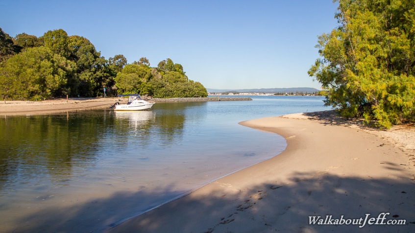
MY FINAL day on South Stradbroke dawned cold being the first day of winter. Upon packing up the camp I headed north towards Couran Cove.
Initially following the soft sandy road heading through thick scrubby forest, a side road diverted to a track roughly following the coast over forested dunes. The forest in places thickened to rainforest complete with a sub-canopy of native palm trees. I had not expected this here on a sand island with no natural lakes or streams.
Eventually I reached the Couran Cove resort, completing the circumnavigation of the island. From there I caught the last boat back to the mainland, watching the sunset heading up the lower reaches of the Coomera River.
|