|
||||||||||||||||||
|
||||||||||||||||||
Home > Diaries > 2021 > 922 |
||||||||||||||||||
|
||||||||||||||||||
|
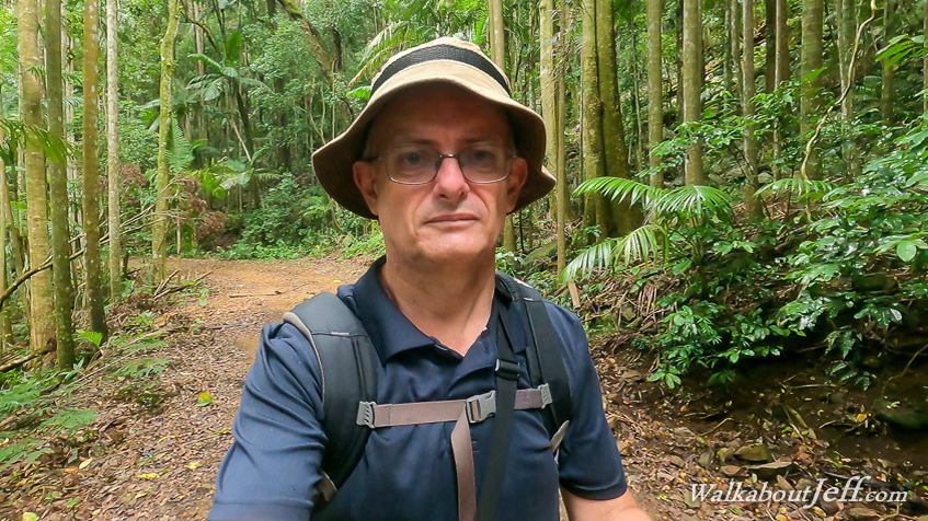
STARTING at Maiala at Mount Glorious, the 680 metre elevation and low cloud combination made for a thick fog giving the dark rainforest a very ethereal feel as I crossed the road entering the Joyner's Ridge Road walking track. A hairy bush wallaby scoots away upon seeing me approach. I follow the track down bypassing Mount Glorious Village before returning along the path and following it the other way through the dense rainforest. I descend below the thick cloud as the track reaches the start of Joyner's Ridge extending westward from the main range. Almost immediately upon reaching the start of the ridge, the rainforest quickly turned to dense eucalypt forest in the more exposed conditions now away from the microclimate bubble of Mount Glorious. The track descends moderately and constantly through the forest along the top of the ridge sometimes going around the tops. The forest gradually thins to open eucalypt forest as it continued to descend down the lee side of the range. Cloud still hovered over the top of the range. After two hours, I had descended 450 metres to reach a low saddle where the England Track Road track crosses this one. From here I could turn left and follow this track and hike back up the range reaching Mount Nebo, so decide to do this another day. I rest on a fallen log for about fifteen minutes before starting the long return up Joyner's Road. The 450 metre climb back up to Mount Glorious was long and slow. The forest gradually thickened as I gained altitude, but the occasional break through the bush gave me the occasional glimpse back towards Mount Nebo to the south and to Northbrook Range to the north which I hope to eventually explore. I finally reached the top of the ridge and entered the dark rainforest again. The thick cloud that had enveloped the forest this morning was now long gone having risen to higher altitudes. I almost make it back to the main road when I reach the junction to the Western Window Track, which I follow back above the Joyner's Ridge Road in the thick rainforest. It continued for over a kilometre before reaching a junction. The main Western Window Track continuing towards Northbrook Mountain was closed due to a landslide, with orange meshing covering the overgrown track. Here I turn and follow the stone stairway up through the rainforest to reach Western Window, a break in the forest giving a view down the England Creek Valley towards the Brisbane Valley. From here I continued along the track for a few hundred metres to reach a small grassy park from where I crossed the road back to Maiala just before rain started falling. |
||||||||||||||||||
|
||||||||||||||||||