|
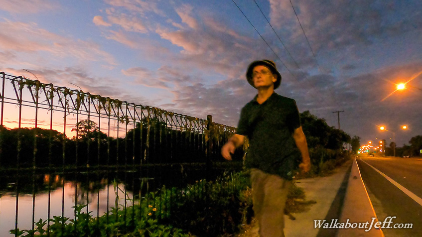
I RETURNED to Caboolture and headed to the river to watch the first light of dawn. Parts of the path were damaged and covered in silt from the recent flood. The first light of dawn appeared to the east over the river, as I started hiking along the path up into Caboolture. I walked through the middle of the town and continued following the path beside Beerburrum Road, which passed under the D'Aguilar Highway and passed the Caboolture Markets being set up as the sun rose. The town quickly ended passing into forest and lifestyle blocks as I continued following the path which was only recently laid.
The path followed the road heading towards Elimbah. Initially the terrain was flat but started getting hilly. I passed numerous small farms and pockets of forest before reaching the side of Round Mountain, a small volcanic hill marking the southernmost end of the Glasshouse Mountains. The track and road road up its side and gently descended the other side.
Eventually I reached the residential areas of Elimbah, and turned into Smith Street at the end of the track, following another path towards the middle of Elimbah with a view of Mount Elimbah to the left. I reached the middle of the town from where I caught a train back to Caboolture.
|