|
||||||||||||||||||
|
||||||||||||||||||
Home > Diaries > 2022 > 960 |
||||||||||||||||||
|
||||||||||||||||||
|
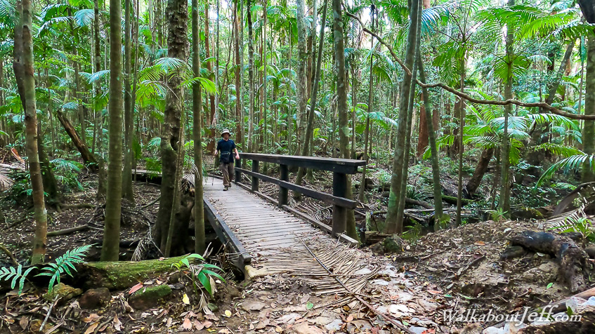
AFTER a night back home, I returned to the Blackall Range in the mid afternoon, heading further this time up to Mapleton, stopping at the last great walk entrance on Delicia Road. From here I was aiming to spend the next three days exploring Mapleton National Park, particularly the northern and central sections of the park where I've never before explored. I started along the great walk along Leafy Lane for about two hundred metres before turning off to follow the great walk back towards Flaxton, heading along the Linda Garrett Circuit through what had been the Linda Garrett reserve before it had become part of the national park. The track was in very good condition despite all the recent flooding. The eucalypt forest turned into rainforest as the track gradually descended to the headwaters of the Gheerulla Creek, crossing over some stepping stones before the track followed it upstream. Occasionally the track would become boardwalk over the more swampy sections of track as it meandered its way along the stream in between the piccabean palms. Eventually I reached the far end of the circuit at another car park and day shelter across the road from the Mapleton cemetery. Here I rested for a while before returning along the track the same way I had earlier come, returning to the end of the track at Leafy Lane at sunset. |
||||||||||||||||||
|
||||||||||||||||||