Introduction to today's journey
Today's journey departs Windermere following the top of the swampy plateau along boardwalk passing Mount Pelion West before descending to the headwaters of the Forth River at the lowest point of the trail. From there the trail gradually ascends to a short diversion to the historic Old Pelion Hut before heading to Pelion Hut overlooking the jagged Mount Oakleigh.
Today's Journey
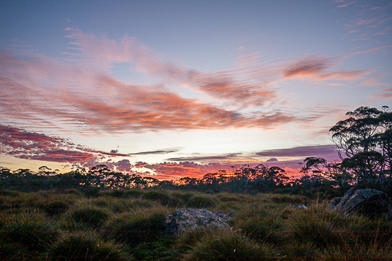 |
A very pretty red sunrise at Windermere suggests rain is on its way. |
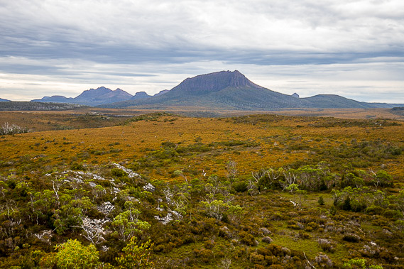 |
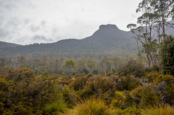
The trail rises from Windermere to this lookout where I look across a large swampy plateau at almost a thousand metres above sea level. I can just make out the mostly boardwalk trail crossing towards the left of Mount Pelion now dominant in the view. |
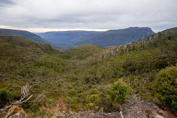 |
A side track leading off the main train heads a short distance to the edge of the plateau to look into dense forest dropping to the valley of Mersey River. An abandoned tungsten mine hides in the valley below. |
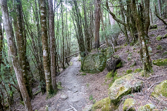 |
After crossing more of the plateau, the track descends through mountain rainforest. |
 |
Reaching the bottom of the valley, a tranquil view back up to the peaks of Mount Pelion West now high above us. |
 |
Heading across the bottom of the valley, we stop for lunch beside the headwaters of the River Forth at the lowest point of the trail at 740 metres above sea level. |
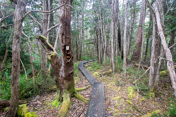 |
After lunch, the track rises through the dense forest above the other side of the valley to nearly 900 metres above sea level. |
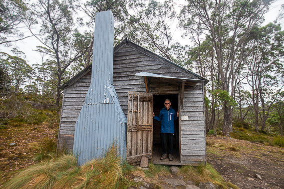 |
A short side track heads to Old Pelion Hut, built in 1907 to accommodate people hiking this remote wilderness and the miners working at the tungsten mine down the valley. |
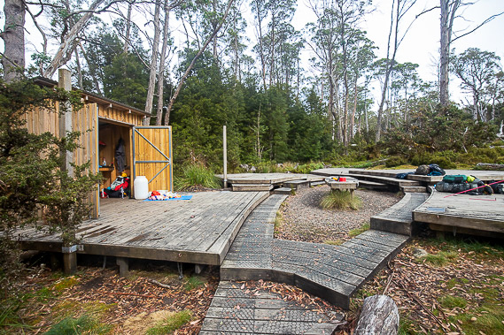 |
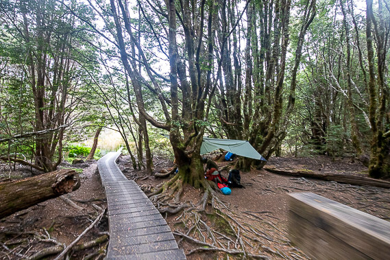
A couple of kilometres around the low plateau brings us to our camping ground for tonight. |
 |
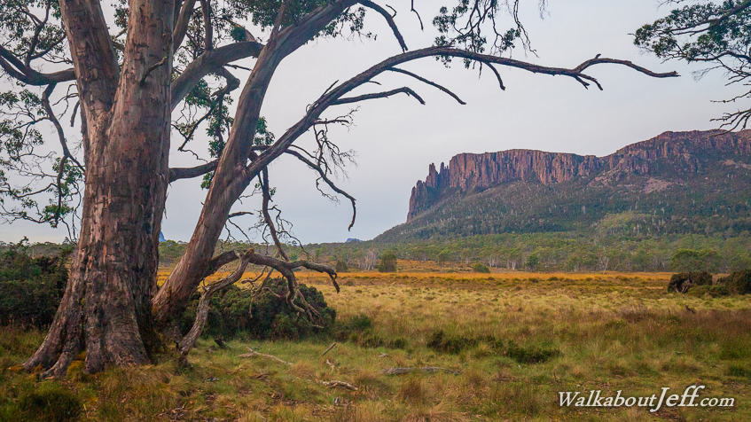
A little below the camping ground is Pelion Hut, the oldest main hut on the track. From here I watch the reverse sunset over the jagged peaks of Mount Oakleigh (see top picture). |
|