Introduction to today's journey
Today's journey takes me upstream along the Angara River to its source at Lake Baikal, the largest freshwater lake in the world. I spend the day exploring the charming chalet village of Listvyanka beside the lake.
Today's Journey
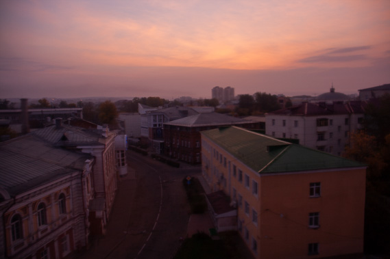 |
A cold sunrise over Irkutsk. I pack up and check out early to continue my journey. |
 |
Following the Angara River upstream, we reach the shores of Lake Baikal at its mouth where it drains into the river. |
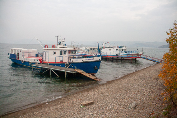 |
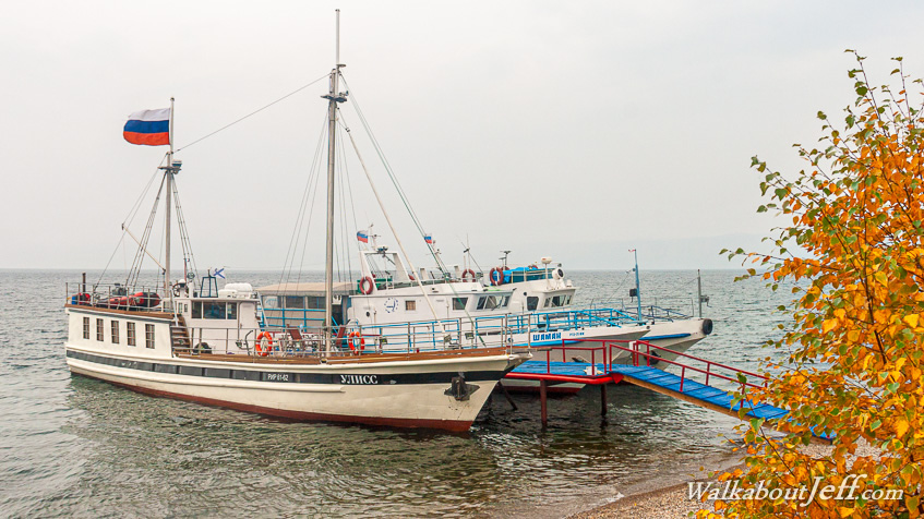
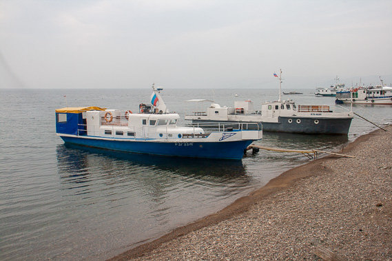
Arriving at the shores of Lake Baikal where the boats are moored to their little jetties. They are out of service now getting final maintenance before the lake freezes over for the winter. |
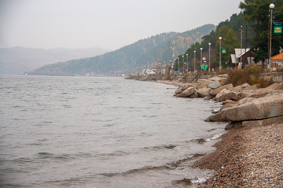 |
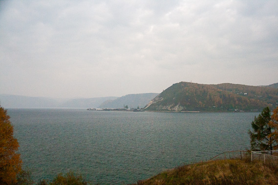
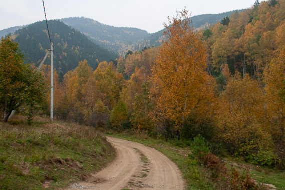
The road passes the lake under the forested hills. This is a rift valley which has opened out to create the biggest lake in the world containing 23,600 cubic kilometres of water, 23% of the world's fresh surface water. |
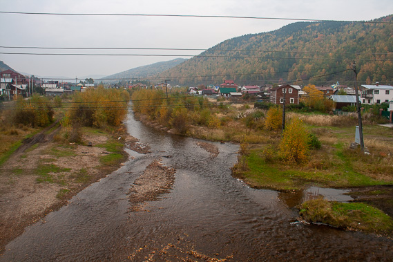 |
The reka Krestovka which flows into the lake, draining one of the many valleys along this side of the rift valley. |
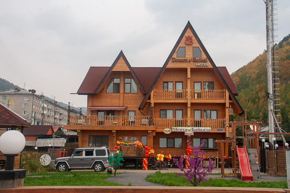 |
One of many spectacular timber hotels, with a steep roof for the snow to fall off during the long winter which will be starting soon. |
 |
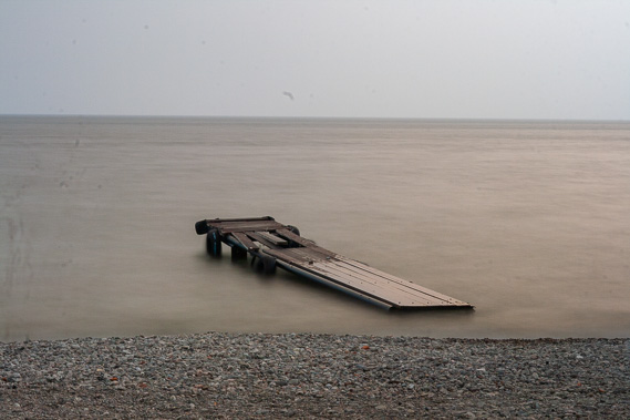
Returning to the side of the clear lake (one of the clearest in the world), looking out to the horizon. This is a huge inland sea. The stony beach gives little clue to the sheer depth of the lake - 1642 metres at its greatest depth - by far the deepest lake in the world. If it were not for the sediment filling much of the lake's bottom, it would be about 20 kilometres deep. |
 |
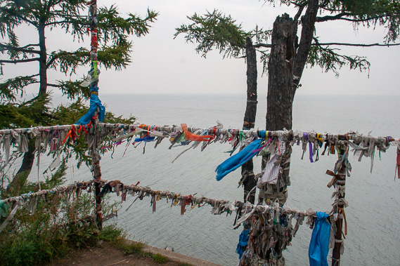
I follow one of the valleys up a road leading to the start of a great walk going around much of the lake. I am only here for one night, but this would be a most fascinating trek here in the Siberian wilderness. |
 |
Hiking to Parizanskaya Ulitsa Point looking over the vast lake. It is 79 kilometres wide and 636 kilometres long so I wouldn't be able to see the other side even on a clear day. |
 |
I wach the sunset from the edge of the lake. It is liquid now, but in the coming weeks will begin to freeze over. Within a couple of months the boats will be replaced with large trucks driving across the thick pack ice. The enormous volume of water in the lake means the water flowing into it from the Selenge takes an average of 330 years to flow out of the lake down the Angara River. Water leaving the lake today would have flowed from the Selenge river in 1686 and down from the Terelj mountains perhaps a couple of years earlier. |
|