Introduction to today's journey
Today's journey takes me from Kampala with my new tour group heading westward towards Queen Elizabeth II Park. We pass farmland increasing in altitude passing under the cloud covered Virunga Mountains before crossing the equator and reaching our eco camp destination at the edge of the park.
Today's Journey
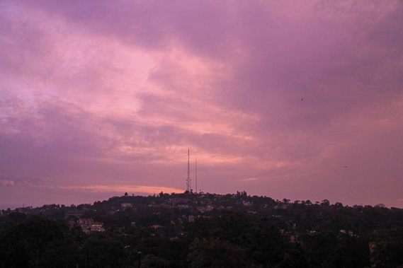 |
A bright pink sunrise over Kampala in the early morning as I pack up and prepare to leave with my new tour group. |
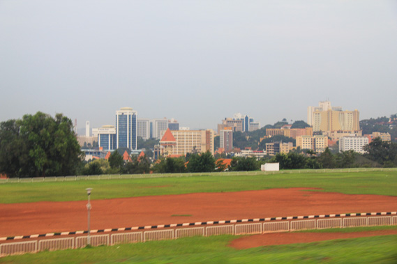 |
We set off passing the city centre before heading out into the countryside. |
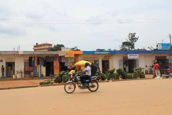 |
Passing small shops on the outskirts of Kampala as we head westward. |
 |
A small roadside shop in one of the many villages we pass. |
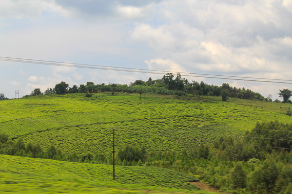 |
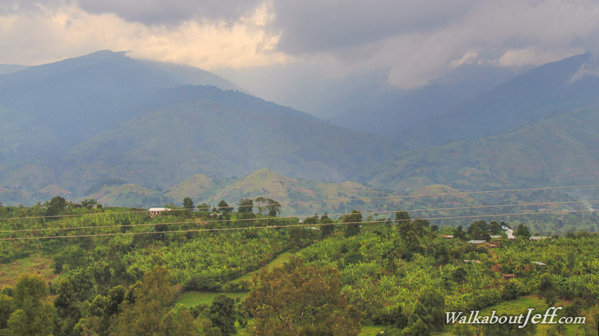
Passing fields of tea over the high rolling hills as we head across the country under the cloud covered Virunga Mountains at the source of the Nile River. |
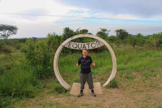 |
Crossing the equator in western Uganda as we descend into the rift valley - a different valley running parallel to the one I had explored at Masai Mara. |
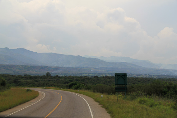 |
Crossing the bottom rift valley towards Queen Elizabeth II Park, a large nature reserve. |
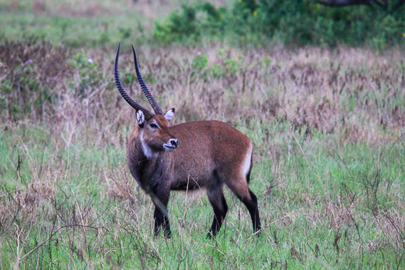 |
We pass a large impala as we enter the park. |
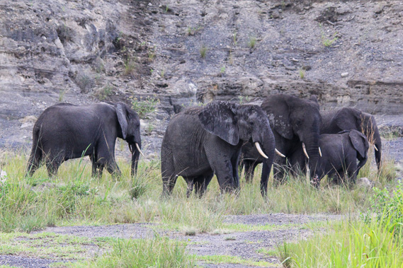 |
A herd of elephants near the road lumbering by following a track up the side of the hill. |
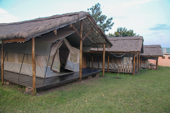 |
Our eco camp where we are staying for two nights. These tents are very impressive and will hopefully keep the wildlife out. |
|