|
Queenstown to Routeburn Flats
 |
|
|
|
|
|
About this Page
Date:
Location:
Country:
Latitude:
Longitude:
Altitude: |
February
Routeburn Track
New Zealand
45°S
168°-169°E
310 - 695m ASL |
Google Maps Link
|
|
|
|
|
Introduction to today's journey
Today's journey goes from Queenstown following the lake upstream to Glenorchy. From there we head to the start of the Routeburn Track and hike up the gorge from Routeburn Shelter to Routeburn Flats.
Today's Journey
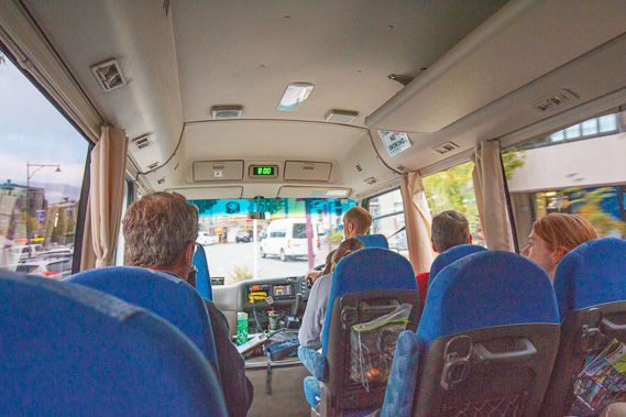 |
Departing Queenstown in the early morning heading towards the Routeburn Track. |
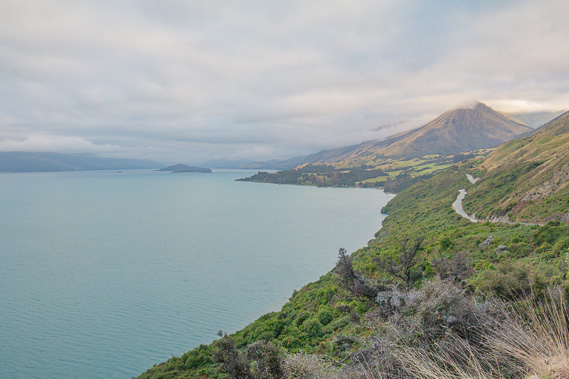 |
We follow the long road above the lake towards Genorchy. The road was only built in the 1960s. Previously all the farms and villages on the lake were serviced by the Earnslaw. |
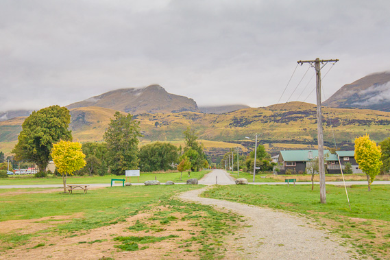 |
Reaching Glenorchy where we stop for breakfast. The clouds are low preventing views of the spectacular surrounding mountains forming the background drop for many Lord of the Rings scenes. |
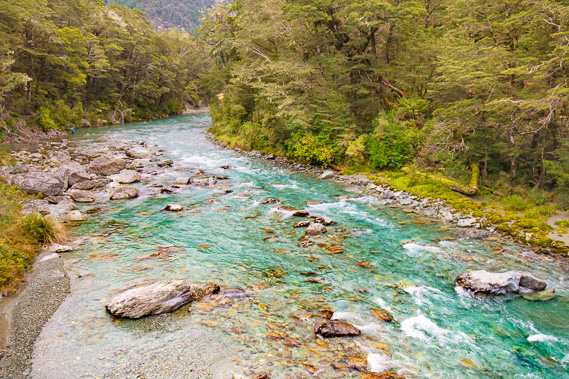 |
Crossing the Route Burn at the start of the Routeburn Track. We follow this crystal clear river upstream towards its source over the next few days. |
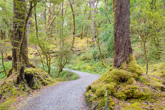 |
The track here is in excellent condition with newly laid gravel over its surface. |
 |
The track rises moderately above the gorge. |
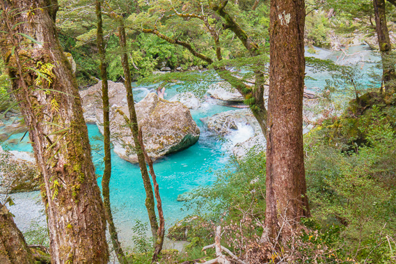 |
After a long ascent we return close to the river near the top of the gorge before it plunges down spectacular cascades back to the lowlands. |
 |
The track continues in excellent condition following an old bridle trail. |
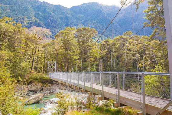 |
Crossing the Route Burn again shortly before reaching Routeburn Flats. The clouds are quickly clearing now. |
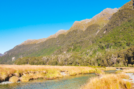 |
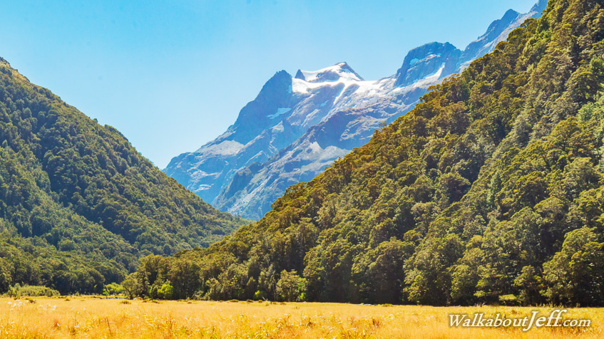
Arriving at Routeburn Flats where the river is now placid and the sky is clear. I stay here for the first night. |
|
|