Introduction to today's journey
Today's short trek starts from Routeburn Flats heading up the side of the mountain to Routeburn Falls, where I settle and photograph the waterfalls over the afternoon.
Today's Journey
 |
A cold morning at Routeburn Flats as I have breakfast and prepare to start a short hike up the mountain this morning. |
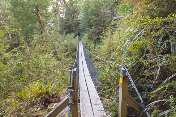 |
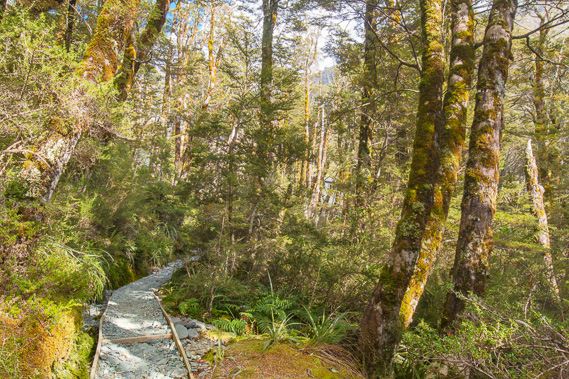
The track moderately rises up the side of the mountain, crossing the occasional swingbridge over cascading streams. |
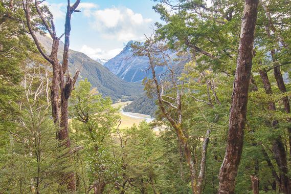 |
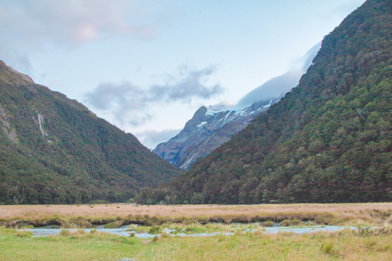
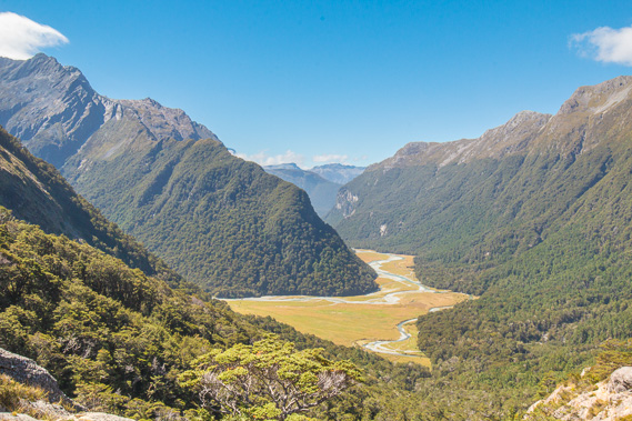
Eventually I reach a gap in the mountain beech forest with a view back down into the Routeburn Flats and the north branch of the Route Burn. |
 |
The track remains in excellent condition as I continue climbing up to the tree line. The air is a lot colder up here. |
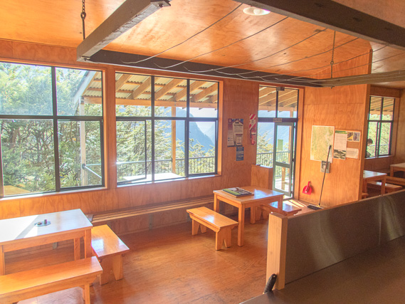 |
Inside the Routeburn Falls hut set on the side of the mountain right on the tree line. I am the first to arrive, but this morning's hike was very short to give me time to photograph the waterfall this afternoon. |
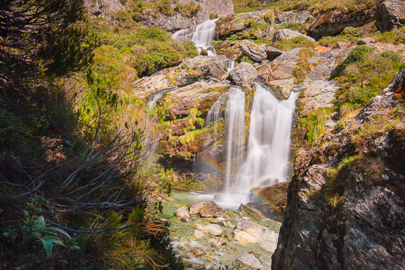 |
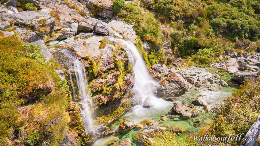
The Route Burn Falls plunging down the side of a fault line just metres away from the hut. This is the south branch of the river which continues cascading into Routeburn Flats. |
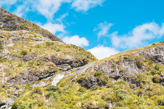 |
Looking up to the top of Routeburn Falls where the river plummets out of a hanging valley which I will be hiking across tomorrow morning. |
 |
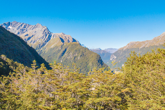
View of Routeburn Flats from above the falls where a glacier once turned around before ending at the gorge. The camping ground is visible to the right but the hut is hidden behind the bush. Beyond the flats is the Routeburn Gorge which I ascended yesterday. |
 |
View from the hut as I have dinner and the temperature quickly plummets. Most mountains in this remote section of Mount Aspiring National Park are unnamed. |
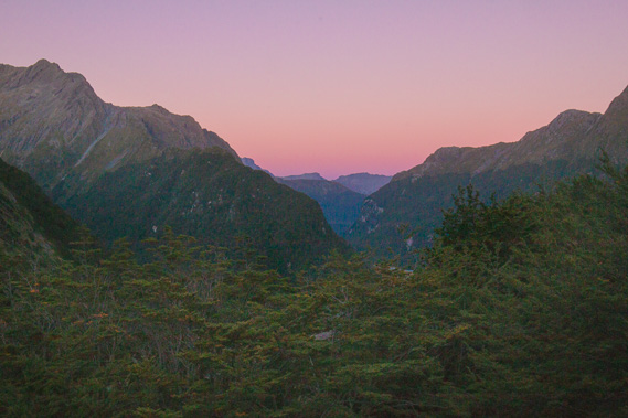 |
Last light of dusk as the air quickly cools and I have an early night ready for a long trek tomorrow. |
|