|
Lake Mackenzie to Lake Howden
 |
|
|
|
|
|
About this Page
Date:
Location:
Country:
Latitude:
Longitude:
Altitude: |
February
Routeburn Track
New Zealand
45°S
168°E
683 - 1025m ASL |
Google Maps Link
|
|
|
|
|
Introduction to today's journey
Today's journey takes me from Lake Mackenzie through the forest below the tree line above the Hollyford River passing close to the spectacular Earland Falls eventually dropping into Lake Howden.
Today's Journey
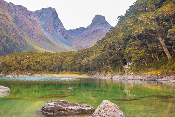 |
Early morning on the shore of Lake Mackenzie looking up towards Emily Pass. Routeburn Flats is just down the other side of the pass. |
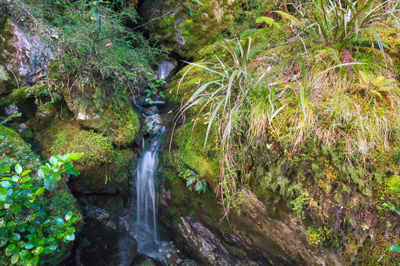 |
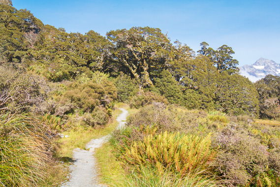
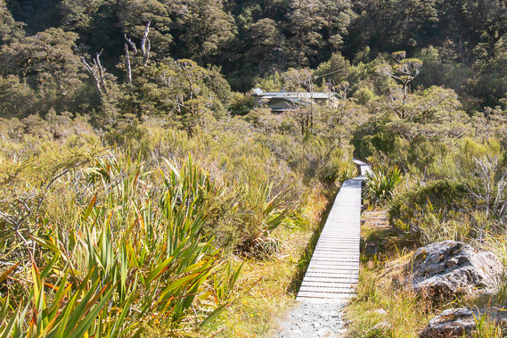
From the hut I head out along the track in the bush passing a few small streams gradually gaining altitude. |
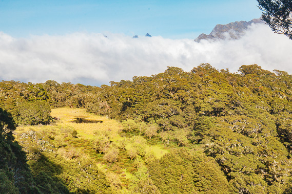 |
Reaching The Orchard at the tree line as the cloud begins to clear. |
 |
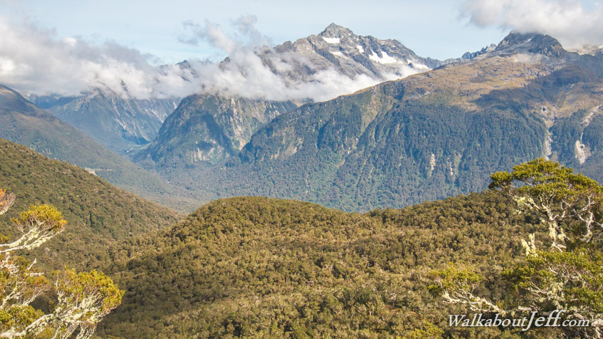
Following the track back into the bush with Mount Christina now just visible in the distance. |
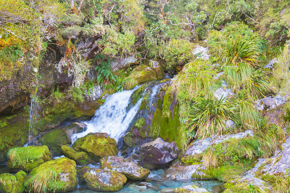 |
Crossing one of several rushing streams. |
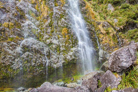 |
The base of the 178 metre high Earland Falls plunging from a hanging valley high overhead. |
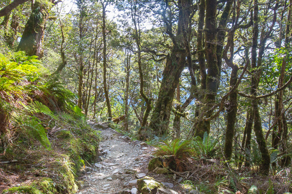 |
Rounding a large spur before heading into the Howden Lake hanging valley. |
 |
Crossing the stream at the outlet of Lake Howden to Lake Howden Hut (which has since been destroyed in a landslide). |
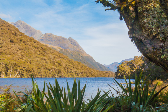 |
View of Lake Howden from the hut. This is another hanging valley with a very low pass at its back from where the Greenstone Track heads down to Glenorchy. Some people do this track with the Routeburn as a round trip starting and ending in Glenorchy or Queenstown. |
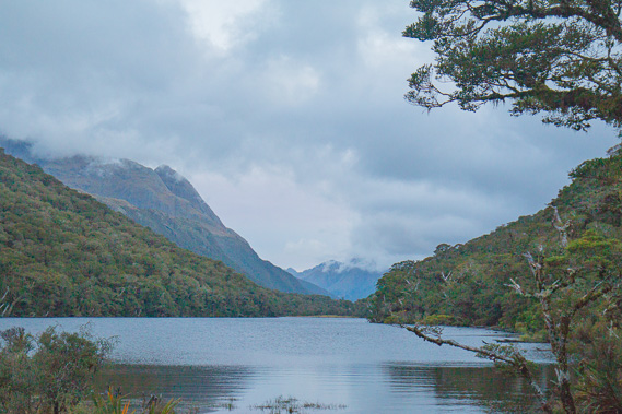 |
Cloud has covered overhead by the evening as a small cyclone reaches the top of the North Island. The weather forecast for tomorrow is not looking good. |
|
|