Introduction to today's journey
Today's trek starts early on the shore of Lake Manapouri at Moturau Hut before heading upstream along the deep glacial Iris Burn Valley. Eventually after crossing a huge landslide and a low saddle, I reach the peaceful Iris Burn Hut.
Today's Journey
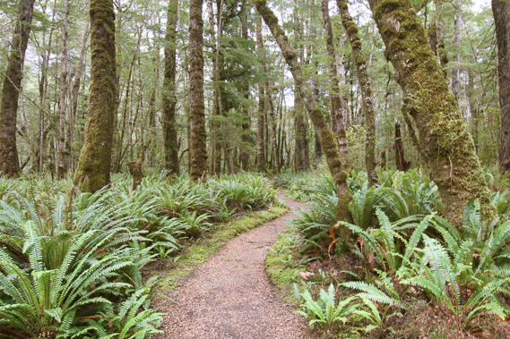 |
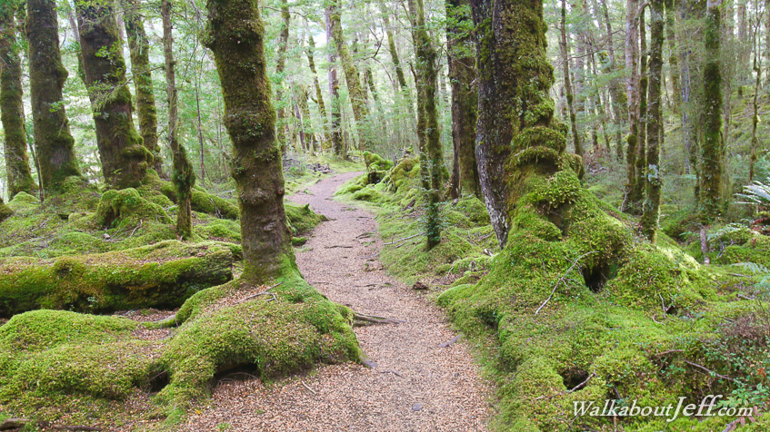
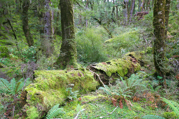
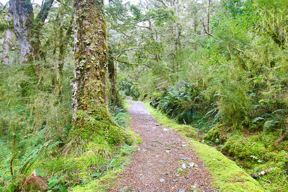
Setting off at sunrise under cloudy skies, I continue near the lake through spectacular beech forest with ferny undergrowth. |
 |
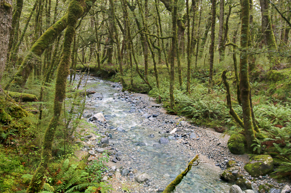
Upon reaching the Iris Burn, the track turns to follow it upstream. For the first two hours there are only fleeting glimspes of this elusive stream even though I always hear it tumbling over its riverbed. |
 |
Reaching the shelter at Rocky Point where I stop for lunch with people coming the other way from Iris Burn Hut. I must be about half way between the two huts now. |
 |
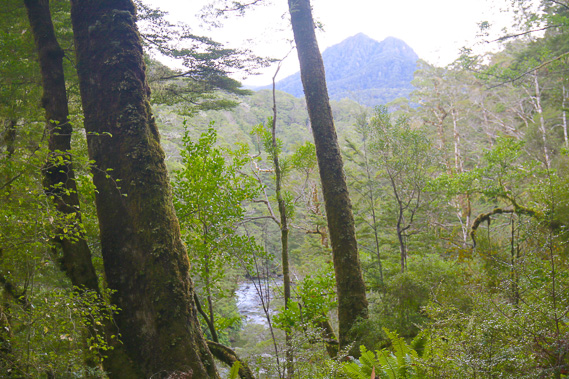
After the shelter the valley narrows and the bush becomes more dramatic. |
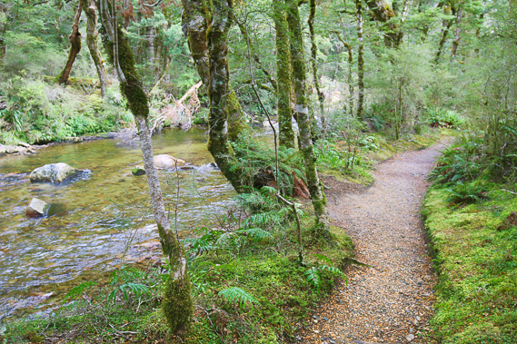 |
The track now closely follows the crystal clear river continuing upstream through the glacial valley once filled in ice a kilometre thick. |
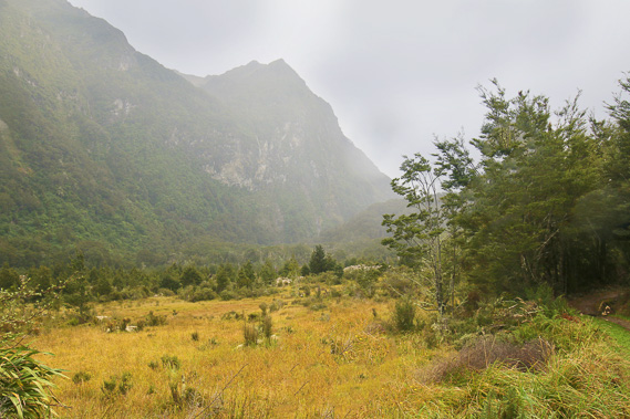 |
The bush suddenly clears at an area known as Big Slip, where an enormous landslide occurred a couple of years before the track was built. |
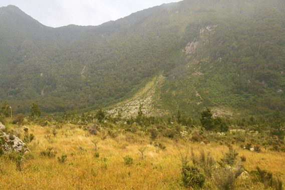 |
The scarp where the slip collapsed in 1984 following heavy rain wiping out a large area of forest. The trees grow slow here in New Zealand, so the forest will take a couple of thousand years to recover. Scrub is now growing through the long grass. |
 |
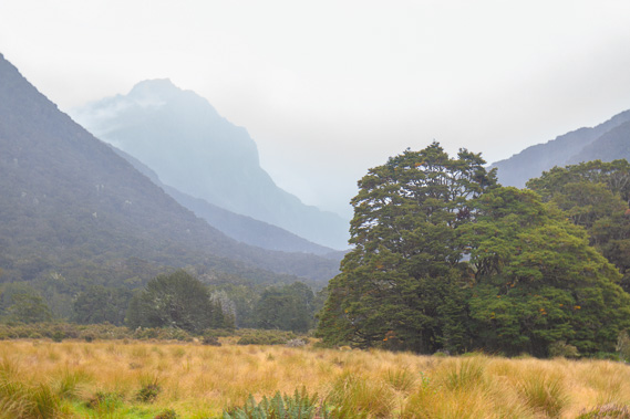
Above the slip the track rises moderately to cross a low saddle avoiding a gorge which Iris Burn flows through. The forest here is amazing. |
 |
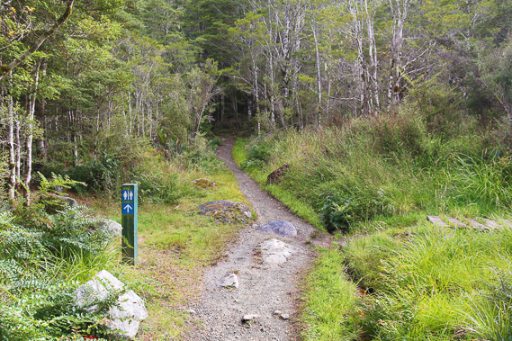
The track moderately descends from the saddle crossing Hanging Valley Stream, which I will be following upstream tomorrow towards the mountaintops of the Jackson Peaks. |
 |
Reaching the flat at Iris Burn Hut. This looks like a promising area to explore, but the weather quickly closes in bringing wind and moderately heavy rain. I stay put in the hut. |
|