Introduction to today's journey
Today's journey takes me from Invercargill early in the morning to road's end at Bluff. From there I catch a boat across the rough Foveaux Strait into Oban. Once I've checked in I explore the coast from the Oban foreshore at Halfmoon Bay around the headlands into Horseshoe Bay, then across the hill to Lee Bay at the start of the Rakiura Track. From there I return to Horseshoe Bay for the night.
Today's Journey
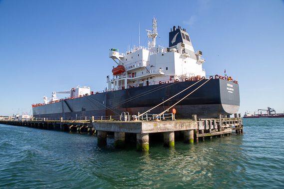 |
From Invercargill, I head to Bluff, the end of the main road through New Zealand. Reaching Bluff Harbour, I catch a boat across to Stewart Island. |
 |
Sailing out of Bluff Harbour, I pass Stirling Point at the end of the road. A white chain is visible in front of the buildings. This is a sculture representing Stewart Island as the anchor of the South Island (the canoe) in Maui's legend. I'm expecting to see the other "end" of this chain once I'm on Stewart Island. |
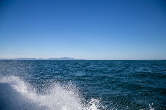 |
A strong head wind makes for a rough crossing of Foveaux Strait. Stewart Island quickly comes into view but takes over an hour to make the crossing in our fast boat. |
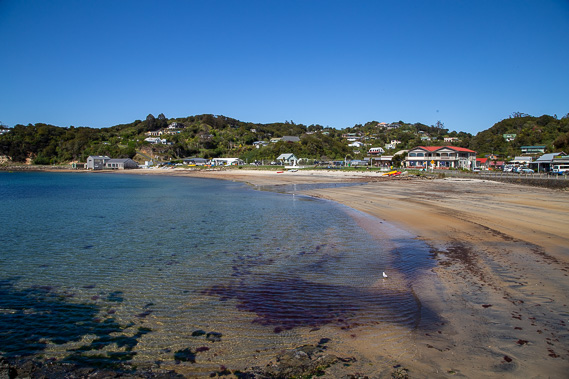 |
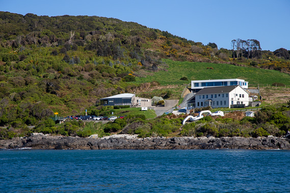
Reaching the sheltered harbour at Oban, Stewart Island's main settlement. |
 |
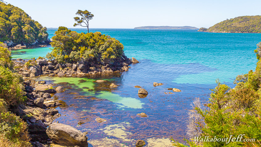
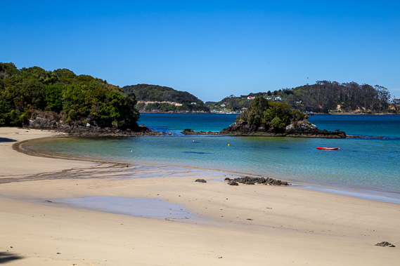
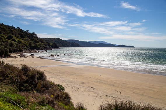
Once settled in, I start exploring the island's north eastern coast, heading anticlockwise around the island. The first beach I reach is the idyllic Bather's Beach. |
 |
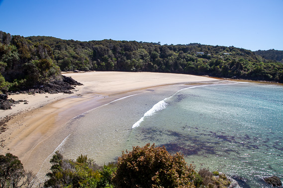
Crossing Butterfield Beach in the sheltered harbours facing away from the prevailing winds. |
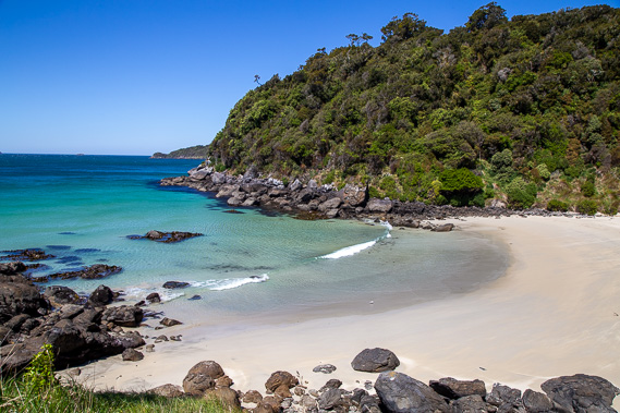 |
Another walking track takes me over the headlands between Half Moon and Horseshoe Bays. The headlands are very rocky with this one break at Dead Man Beach. |
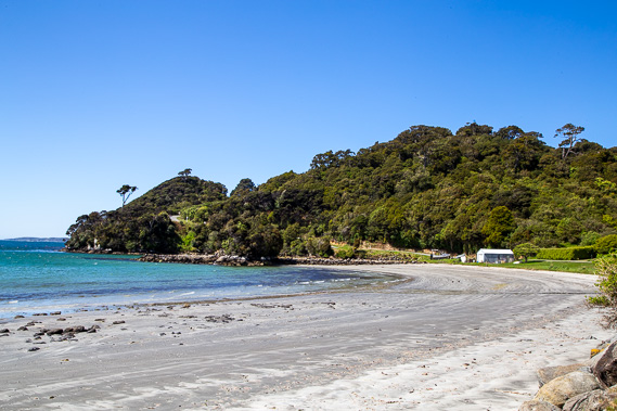 |
Heading around the very windy Horseshoe Point, I reach the grey sands of the relatively sheltered Horseshoe Bay. I am already near the edge of civilisation with only a few houses on this beach. |
 |
Following the road over a low saddle, I reach Lee Bay, from where I will be starting to hike the Rakiura Track tomorrow. In the distance is Mount Anglem, Stewart Island's highest mountain at 980 metres high. |
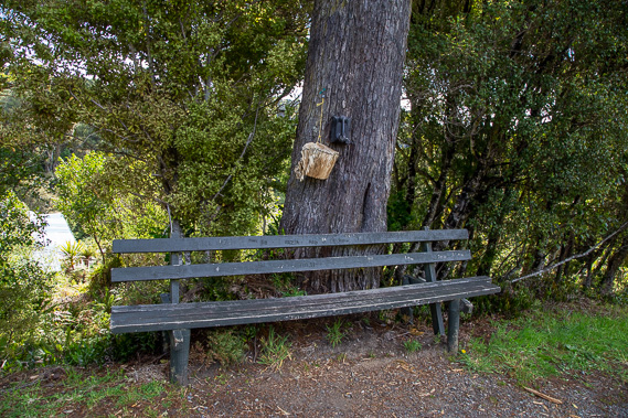 |
Returning to Horseshoe Bay and continuing up the hill a little, I reach the famous phone in a tree. It even comes with a very worn phone book. The phone isn't connected, but has been mounted to this magnificent rimu tree for several decades. |
|