Introduction to today's journey
Today's journey takes me out of Christchurch heading northward, turning inland at Waipara heading into the mountains to cross the main divide at Lewis Pass. Once over the pass, I hike a track following the alpine faultline to Lake Daniells. From the lake I return down the track and follow the Maruia River downstream to where it flows into the Buller River. Upon reaching the Buller River, we head upstream a little to the remote town of Murchison.
Today's Journey
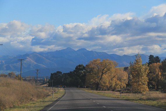 |
Departing Christchurch in the early morning, we initially head northwards before turning at Waipara towards the mountains. |
 |
The Sylvia Flat hot spring beside the Lewis River, about half an hour before crossing the main divide at Lewis Pass. |
 |
A stop at the summit of Lewis Pass to explore the boggy tarns as the weather turns and rain falls on the mountains. |
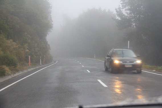 |
Following the long winding road descending 300 metres into the upper Mariua River, which follows an old glacier cut deep into the mountains. |
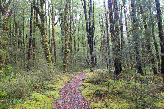 |
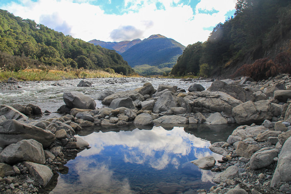
Upon reaching Marble Hill at the bottom of the valley, we follow the Lake Daneill walking track beside the Alfred River which follows the alpine fault. |
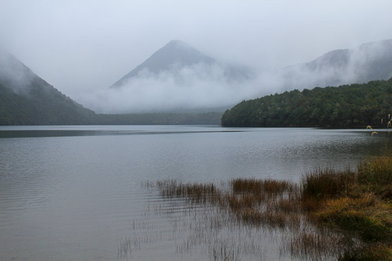 |
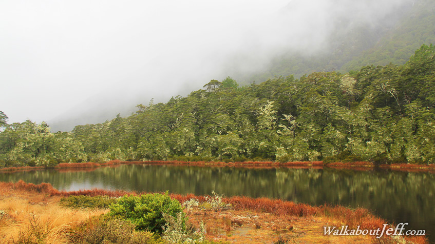
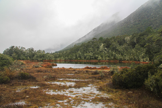
After about 8 kilometres I reach the shore of Lake Daniell, blocked off by the fault line. There is a small hut here in this pristine area. |
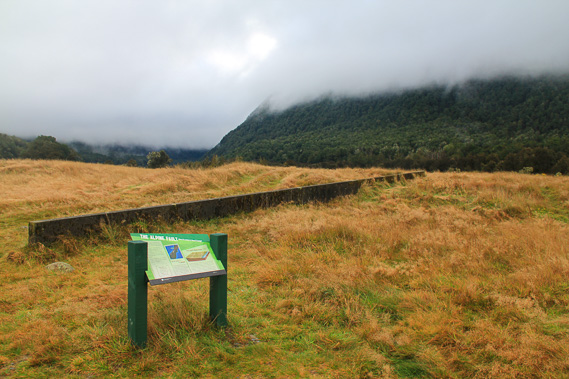 |
Returning to the Maruia Valley, I have a look at this concrete wall which has been built across the fault line (the slight rise in the ground). The two plates move against each other about 5 centimetres per year, but this part of the fault hasn't moved for a long time. It will most likely rupture with the two halves sliding ten to twenty metres apart during the next major earthquake. |
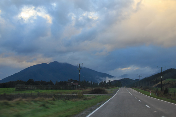 |
From the fault line, we follow the long Mariua Valley downstream. Ahead lies Mount Rutland where the road will divert from the main river to its left and heading over the Shenandoah Saddle to avoid the steep gorge on the other side. |
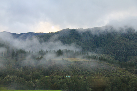 |
Mist covers the dark hills near the end of the Maruia River just before it flows into the larger Buller River. |
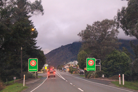 |
Upon reaching the Buller River, we head upstream about 15 kilometres to Murchison where we stay the night. The sun is setting turning the clouds pink before darkness falls. |
|