Introduction to today's journey
Today's journey heads out of Wellington along the main highway along the North Island's west coast up to Wanganui. From there I head inland through the notorious Paraparas up to Raetahi. From there it is a gradual climb along the central plateau to Ohakune at the foot of Mount Ruapehu.
Today's Journey
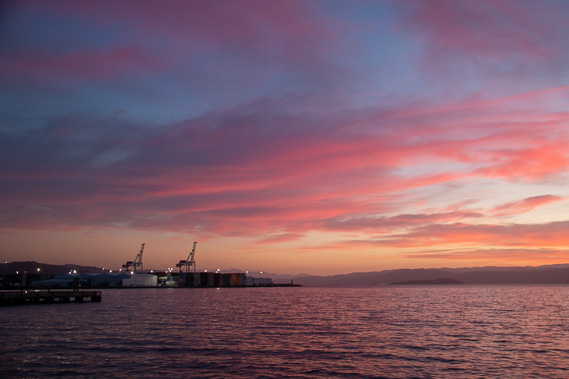 |
A spectacular sunrise over Wellington Harbour on this cold windy morning. |
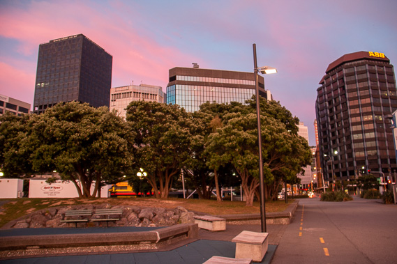 |
Returning to the city in the dawn light to start travelling northwards towards the centre of the island. |
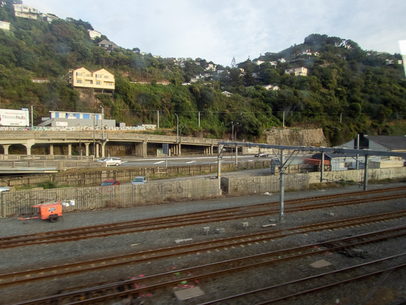 |
Passing above the railway line with the fault line at the edge of the hills. Much of the city is built on the rugged terrain of these recently uplifted hills. |
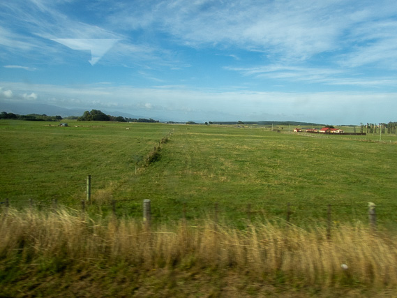 |
Eventually we leave the city and follow the west coast northwards through the flat fields of Manawatu. |
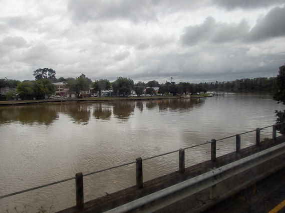 |
Reaching Whanganui and following the Whanganui River from its mouth upstream for a few kilometres. |
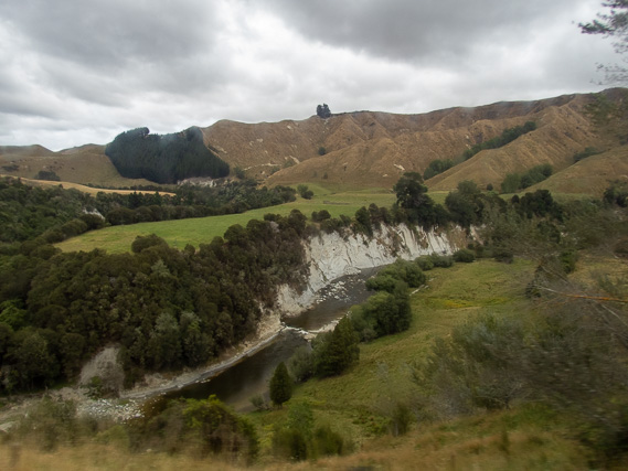 |
Following the Mangawhero River upstream along the notorious highway up the Paraparas on a long winding journey towards the North Island's central plateau. |
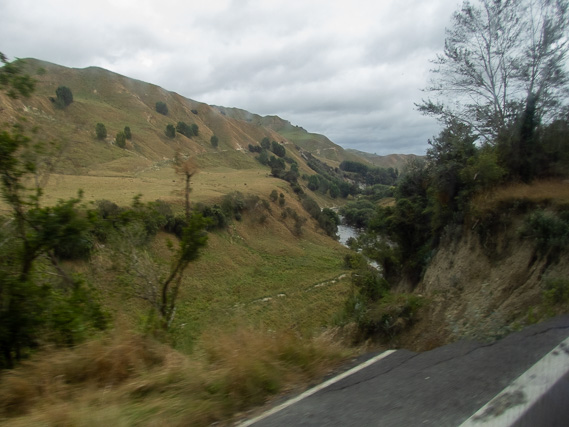 |
Big storms in the middle of last year caused several landslides wiping out part of the road, closing it for a long time. Fortunately the worst of the damage has been fixed and we are now able to get through. |
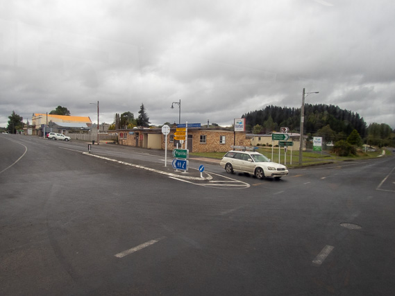 |
The rugged terrain suddenly ends as we reach the start of the plateau at Raetihi, from here we turn off towards the volcanoes in the middle of the island. |
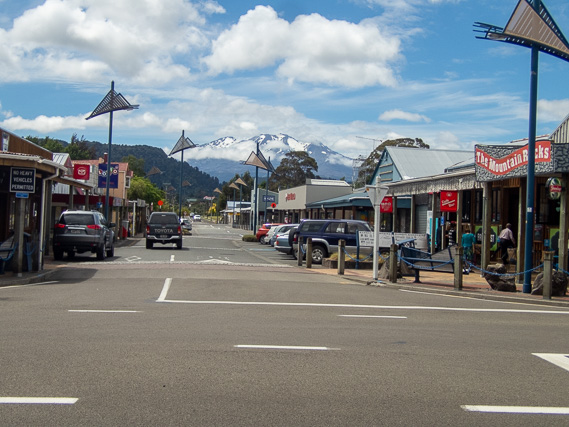 |
Reaching Ohakune, the main town under Mount Ruapehu. It is quiet at this time of year, but gets very busy during the winter ski season. |
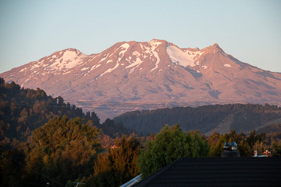 |
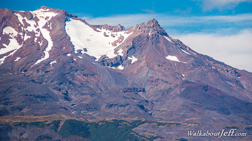
Mount Ruapehu glowing pink at sunset. At 2297 metres above sea level, it is the North Island's highest mountain. |
|