Introduction to today's journey
Today's journey starts from Ramanui continuing downstream through the Whanganui River's most spectacular gorge before passing through the river's largest rapids to our destination in Pipiriki. From there we return by road up the plateau to Ohakune.
Today's Journey
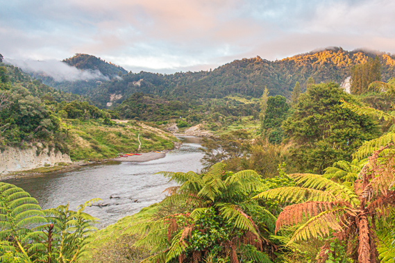 |
Early morning view of the river at Ramanui before we depart and continue downstream. |
 |
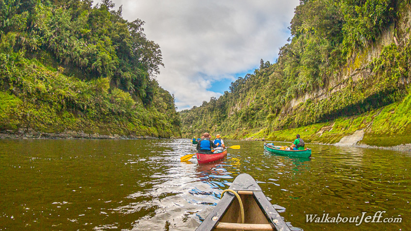
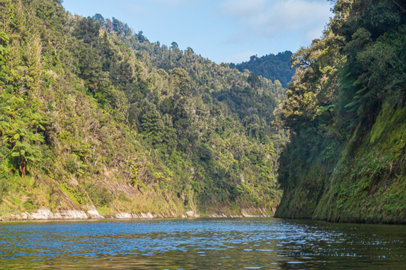
We quickly leave the broad valley and paddle down the gorge amongst the river's most amazing cliffs of Te Wahi Pari in a long calm stretch. |
 |
The river remains flat and sluggish as we pass under the monolithic cliffs. |
 |
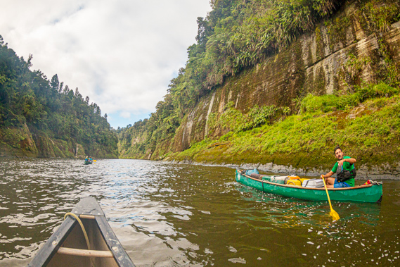
Heading around a corner where the cliffs are diminished as we continue paddling down the gorge. |
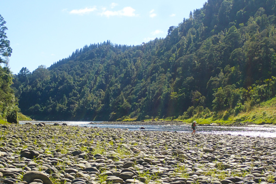 |
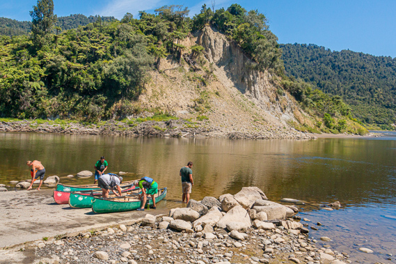
We rest on a boulder bank just below a rapid as the river starts to become rougher downstream from the mouth of the Manganuioteao River. |
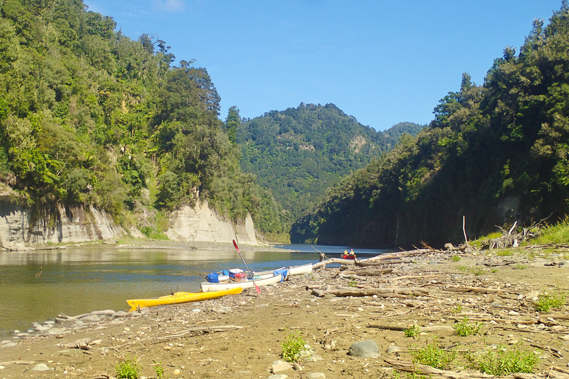 |
Another stop on the bank just below Ngaporo Rapid, the biggest rapid on the entire river. There are several more large rapids ahead of us. |
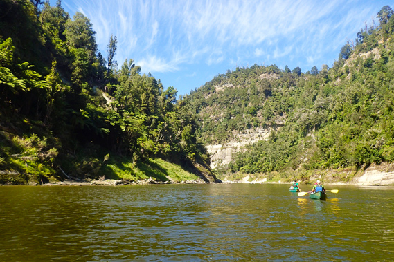 |
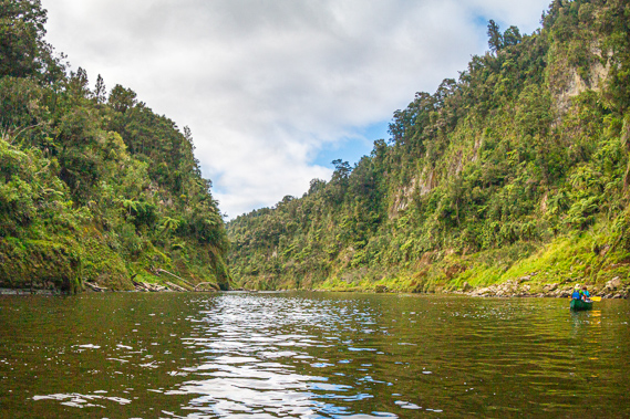
Paddling along a brief calm patch between the rapids before the valley widens. |
 |
Reaching our destination at Pipiriki 120 kilometres downstream from where we started. Here we bring the boats ashore and pack them in a trailer. |
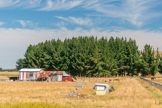 |
After a narrow winding road heading up the hills, we are suddenly back onto the Central Plateau. |
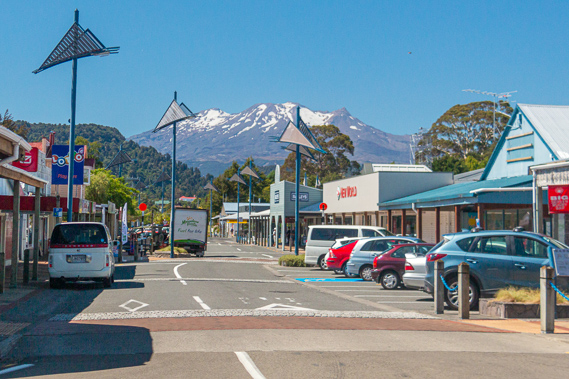 |
Arriving in Ohakune sitting under the mountain. Here we rest for the afternoon. |
|