|
Ohakune to Palmerston North
 |
|
|
|
|
|
About this Page
Date:
Location:
Country:
Latitude:
Longitude:
Altitude: |
February
Ohakune - Palm. Nth
New Zealand
39°-40°S
175°E
5 - 620m ASL |
Google Maps Link
|
|
|
|
|
Introduction to today's journey
Today's journey starts with exploring the bush around Ohakune before heading back through the Paraparas and continuing down to Palmerston North.
Today's Journey
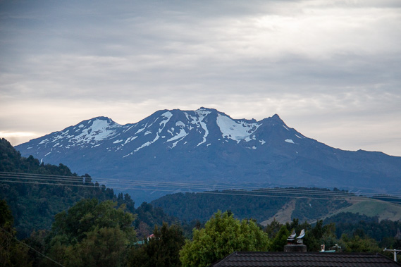 |
Overcast skies cover above the mountain in the morning. The snow has melted as much as it can for the summer, and fresh snow will soon fall as the temperature drops towards winter. |
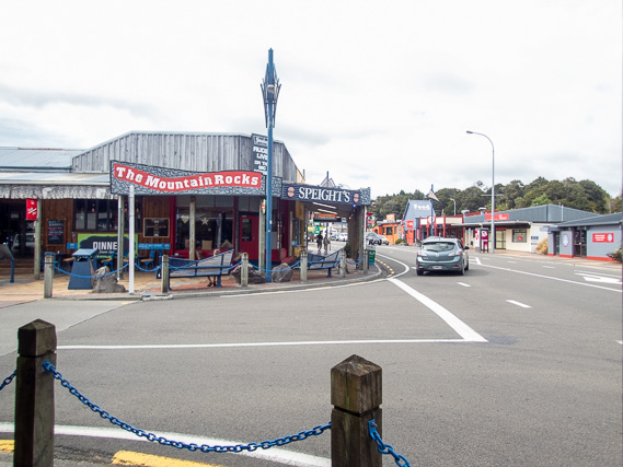 |
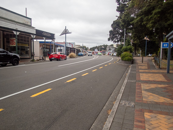
Exploring the middle of Ohakune in the morning. It is a very quiet town in the middle of one of the main routes between Auckland and Wellington for much of the year, but becomes very busy during the winter ski season. |
 |
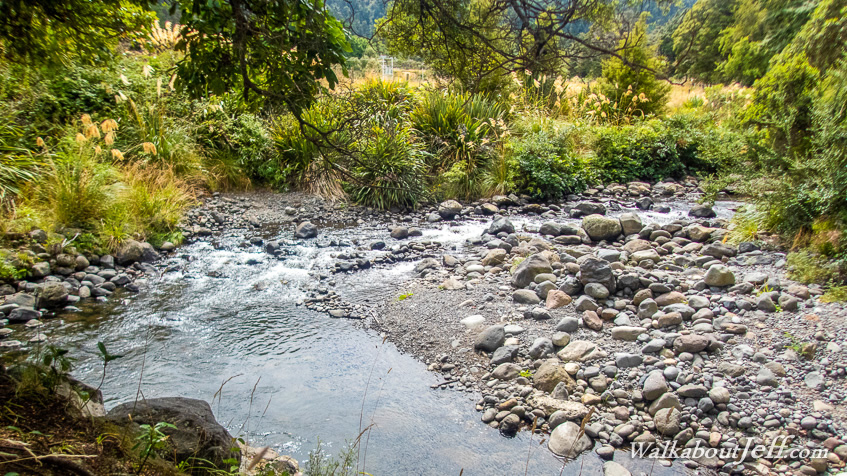
I discover a walking track following the upper reaches of the Mangawhero River flowing beside the village. |
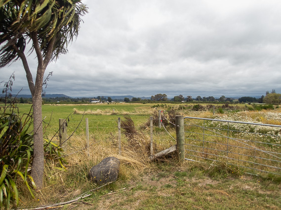 |
The stream is on one side of the track, and farmland stretches out over the plateau from the other side. |
 |
Returning to the Ohakune town centre from where we catch a bus to Palmerston North. |
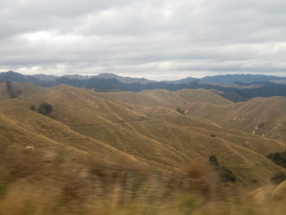 |
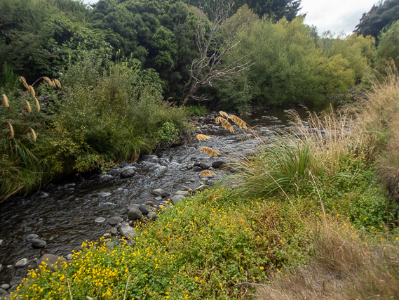
Leaving the plateau going through the rugged Paraparas following the Mangawhero River downstream. |
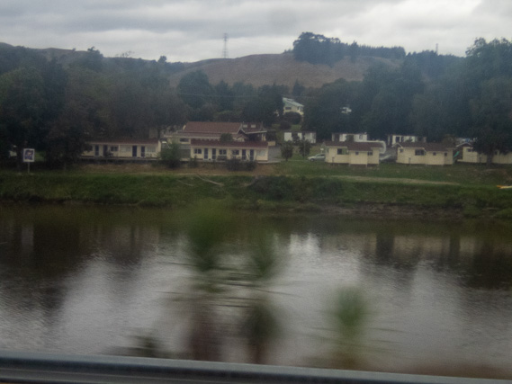 |
Returning to the Whanganui River at the start of the town of Wanganui at its mouth. |
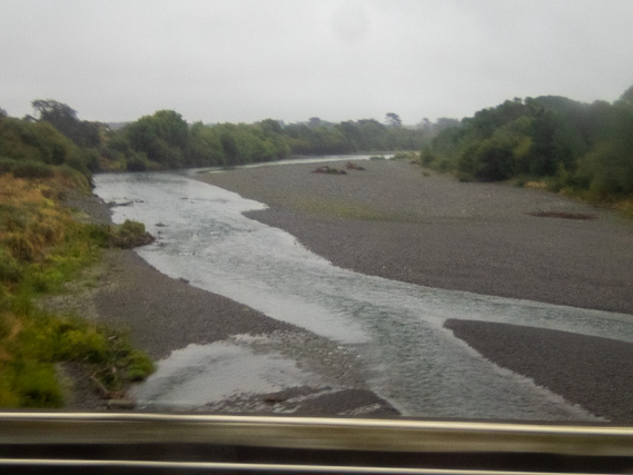 |
Heading south from Wanganui crossing the Rangitikei River entering Manawatu. |
 |
Arriving in Palmerston North under overcast skies brought on from the north westerly winds coming off the Tasman Sea. |
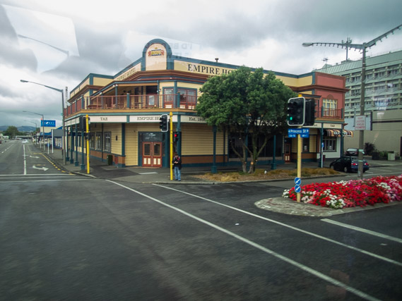 |
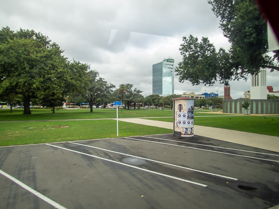
Exploring Palmerston North under the chilly sky. |
|
|