Introduction to today's journey
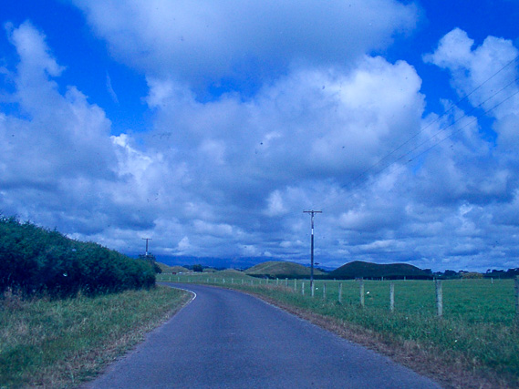
Today's journey departs Palmerston North in the early morning following the west coast back to Whanganui. From there we travel along the rounded Taranaki Coast, formed from numerous eruptions of the towering Mount Taranaki. We eventually reach New Plymouth.
Today's Journey
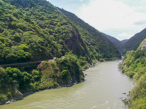 |
Exploring the entrance to the Manawatu Gorge, where the Manawatu River flows through the North Island's main dividing range. |
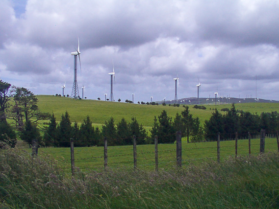 |
The hills above the gorge are amongst the windiest parts of New Zealand. This land has been put to good use with a large wind farm. |
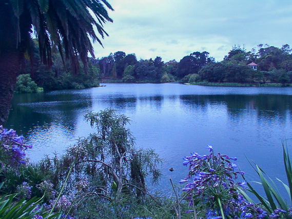 |
Following the coast north westward from Palmerston North, we stop in Wanganui at a lake in Virginia Park. |
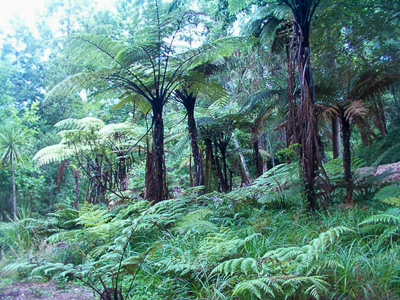 |
Exploring some of the bush in Virginia Park before continuing northward along the coast. |
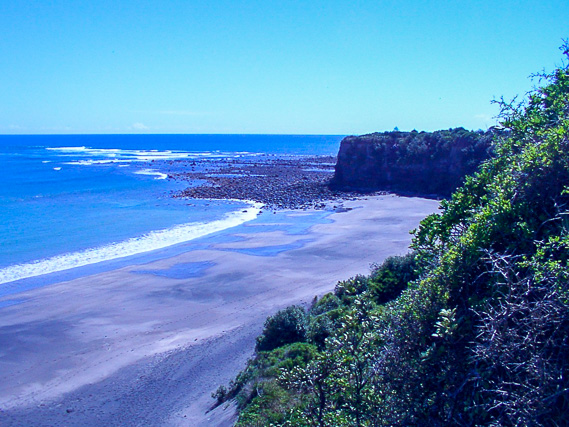 |
We stop at Opunake Beach looking from the volcanic cliffs out into the Tasman Sea. |
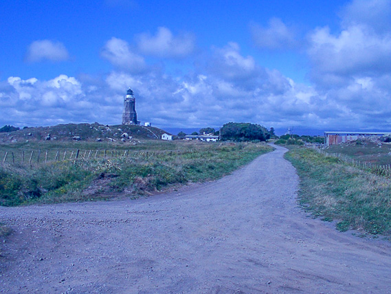 |
We continue following the circular coast of Taranaki, to its westernmost point here at the Cape Egmont lighthouse. The mountain is hidden in the cloud in the distance. |
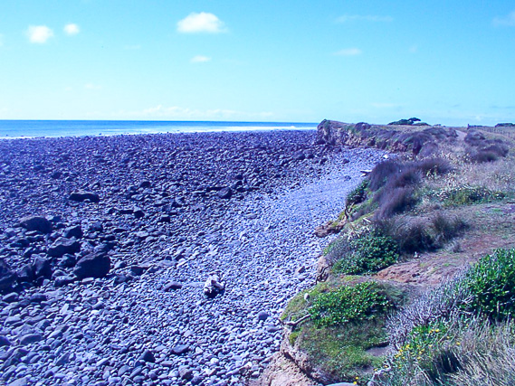 |
The rocky beach at Cape Egmont. The entire coast here is formed from volcanic deposits from the mountain. |
 |
We continue our journey around the mountain which remains hidden in the cloud directly ahead of us. |
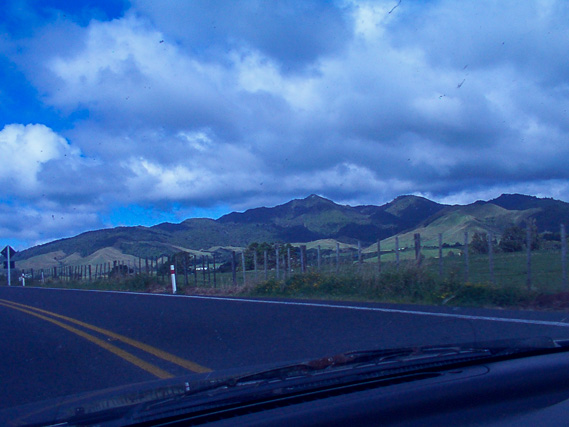 |
Passing the older volcanoes of Kaitaki Peaks, around half a million years old. |
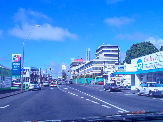 |
Reaching New Plymouth, the main town under the volcano. |
|