Introduction to today's journey
Today's journey heads back towards the centre of the North Island, following the west coast a little further north before heading inland to Lake Taupo, an enormous caldera lake.
Today's Journey
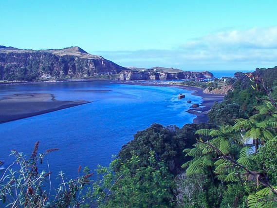 |
Leaving New Plymouth in the early morning, we cross the Urenui River as we negotiate our way through rugged countryside. |
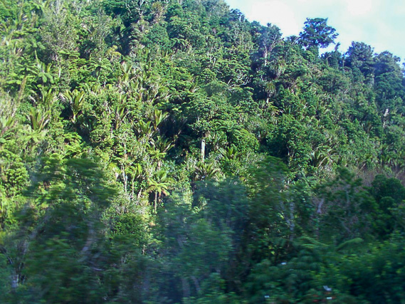 |
Entering some rough forested terrain as we cross Mount Messenger on the Mokau Road. |
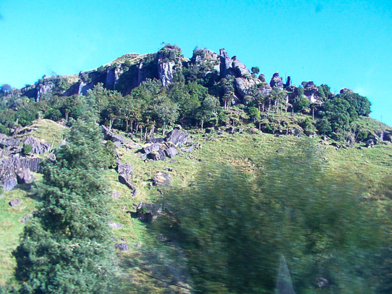 |
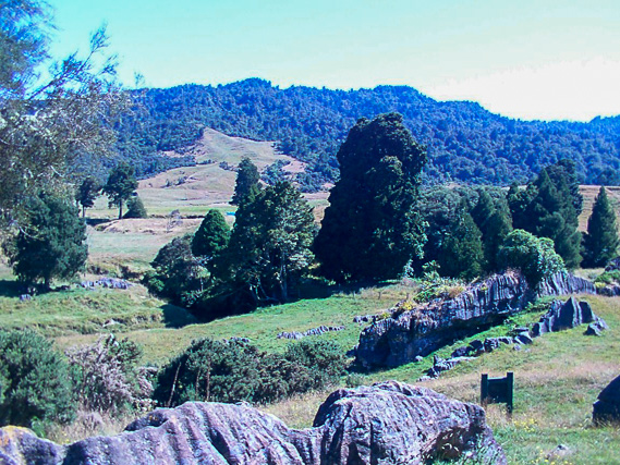
Heading further north, we pass some limestone formations common along the coast between here and Auckland. |
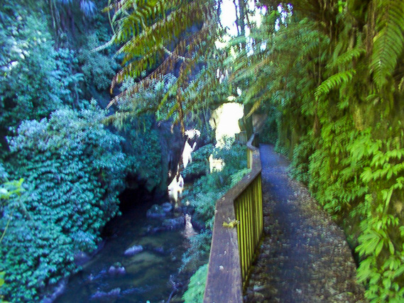 |
We find a walking track following a ravine upstream. |
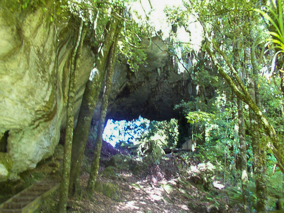 |
The track follows some spectacular limestone formations which would have once been part of a cave system. |
 |
Above the gorge passing some interesting limestone formations. |
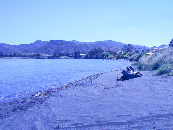 |
A beach of pure ironsand. The black sand is very heavy and would be attracted to magnets. |
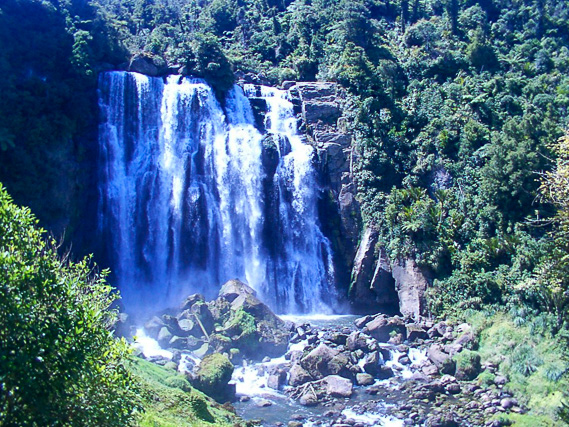 |
Reaching a spectacular waterfall plunging over a rocky formation in the forest. |
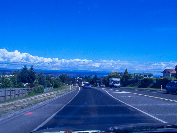 |
From the waterfall we head inland passing through Te Kuiti and continuing until eventually reaching Taupo, from where we follow the road northwards back towards the mountains of the central plateau. |
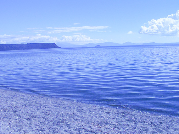 |
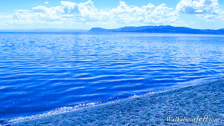
We stop the night at the edge of Lake Taupo. It appears to be a very calm lake, but this is a caldera which has formed some of the most violent volcanic eruptions in recent history. |
|