|
Taupo to East Cape
 |
|
|
|
|
|
About this Page
Date:
Location:
Country:
Latitude:
Longitude:
Altitude: |
February
Taupo - East Cape
New Zealand
38°-39°S
176°-179°E
0 - 490m ASL |
Google Maps Link
|
|
|
|
|
Introduction to today's journey
Today's journey leaves Lake Taupo following the Waikato River downstream briefly before heading northwards to the Bay of Plenty. From there we follow the coast into Eastland eventually reaching East Cape.
Today's Journey
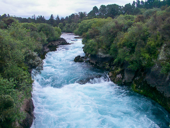 |
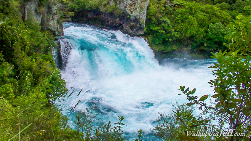
In the early morning we head back to Taupo and continue following the Waikato River which drains the lake forming the country's longest river. We reach a gorge above Huka Falls. |
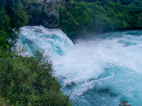 |
The track ends just over the dramatic Huka Falls where enormous volumes of water plunge over the low waterfall. |
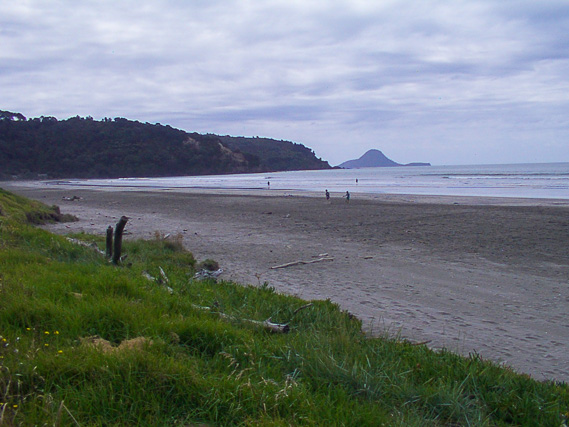 |
We continue heading towards the coast before reaching Bay of Plenty near Opotiki. |
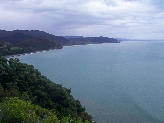 |
From Whakatane we follow the East Cape Road heading through remote territory where the mountains of mudstone plunge into the turquoise water. |
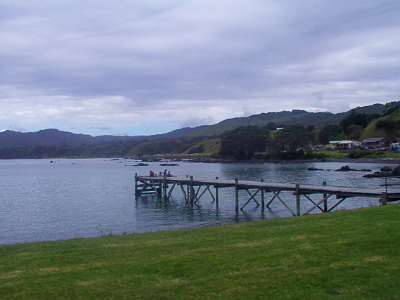 |
Stopping one of the few settlements along this remote coastline. |
 |
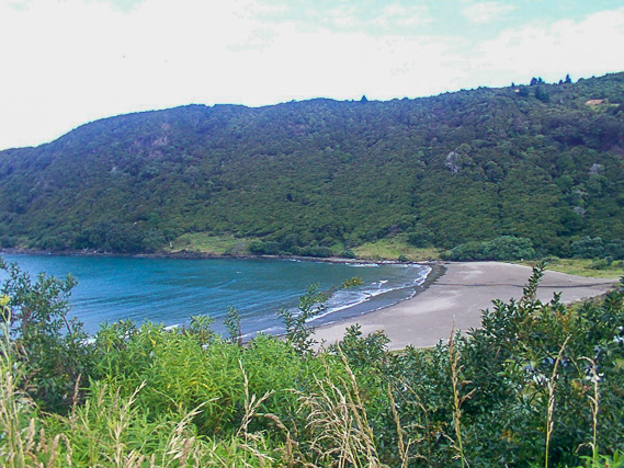
Another bay between rugged headlands. The beaches through here are very rocky with the land being uplifted from earthquake activity. |
 |
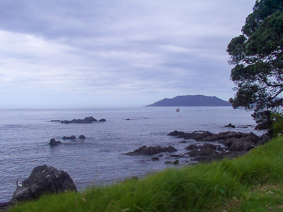
Passing the remote Hick's Bay sheltered by high hills. |
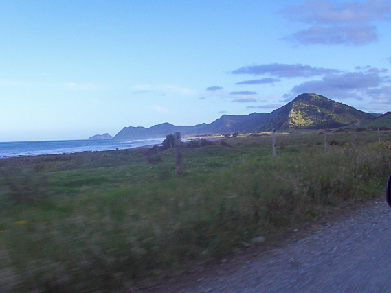 |
We eventually reach Te Araroa where we leave the main highway following a gravel road towards East Cape now visible in the distance. |
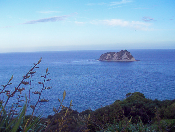 |
View from the East Cape lighthouse looking towards a mudstone island. The main fault line is a few kilometres offshore running parallel to the coast from here southwards. The International Date line is just 128 kilometres offshore in this direction. |
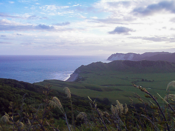 |
Looking south from the cape along the rugged coast which we will be following tomorrow. |
|
|