Introduction to today's journey
Today's journey departs Scrub Road Camp following South Boundary Road track along the ridge over the headwaters of Enoggera Creek to its end at Mount Nebo Road. From there I head to nearby Jolly's Lookout and follow a couple of walking tracks through the dense rainforest to Mount Nebo Village which I hike through before heading up to the summit and lookout of Mount Nebo. From the top I follow the firebreak along the ridge back to the road and over to Dundas Road which I follow along another ridge to Dundas Road Camp.
Distance hiked today: 24.3km
Total distance hiked: 79.1km
Today's Journey
 |
The humid dawn breaks as I have breakfast at Scrub Road Camp. I hear a very faint rumble of the city coming to life a long way down the valley under the calls of the numerous waking birds. Otherwise it is very quiet up here. |
 |
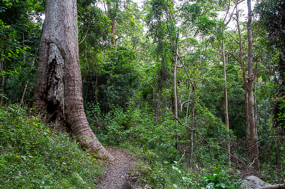
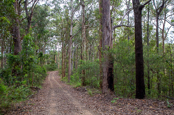
I leave the camping ground a little after sunrise continuing to follow South Boundary Road climbing towards Mount Nebo. The track follows the top of the ridge containing the headwaters of Enoggera Creek. The forest is quite tall here, but the huge specimens of the original forest were cut down during the forestry days in the 1940s and 1950s before the area was protected as forest park, then national park. |
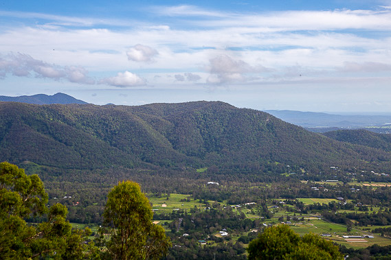 |
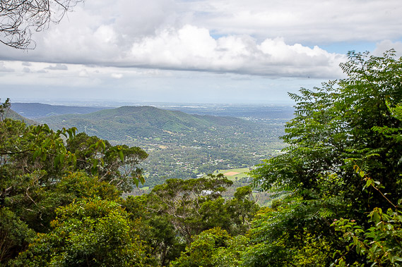
Upon reaching the end of South Boundary Road, I follow Mount Nebo Road a short distance to Jolly's Lookout looking over Samford Valley, Brisbane City's closest area of lifestyle blocks. The lookout was named after a former mayor of Brisbane who visited here in 1927. |
 |
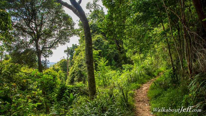
From Jolly's Lookout, I descend into the dense rainforest to follow the Ergenia Circuit around the headwaters of Jolly's Creek (flows into Enoggera Creek), before following Thylogale Track to Boombana day use area, in a clearing with several picnic tables making for a very nice resting spot. |
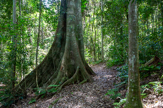 |
After resting at Boombana, I follow the Pitta Circuit through the eucalypt and rainforest. I reach a boardwalk around a huge tree before leaving the circuit to follow Post Office Track towards Mount Nebo Village. |
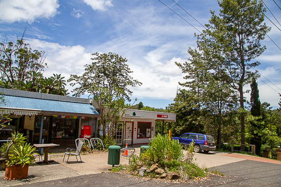 |
Post Office Track suddenly ends at the village, the first sign of civilisation I have seen since Enoggera Reservoir early yesterday morning. The track ends just before the post office from where a sealed footpath follows the road through the village straddling across the top of the range about 450 metres above sea level. The village gradually formed from a subdivision of blocks of land surveyed here in 1919 for soldiers returning from World War I. The village is now part of Moreton Bay Region, which I have just entered and will be roughly following its western boundary along the length of the range. |
 |
Upon reaching the end of the village, I follow Forestry Road to avoid the traffic of the main road before following a short section of the main road again to Manorina car park, from where I follow the Morelia Walking Track steadily rising towards the summit of Mount Nebo. |
 |
I reach the Mount Nebo lookout just below the 620 metre summit. From here I look across the Samford Valley and the distant town centres of Strathpine and Redcliffe where I will be exploring towards the end of the northern circuit. |
 |
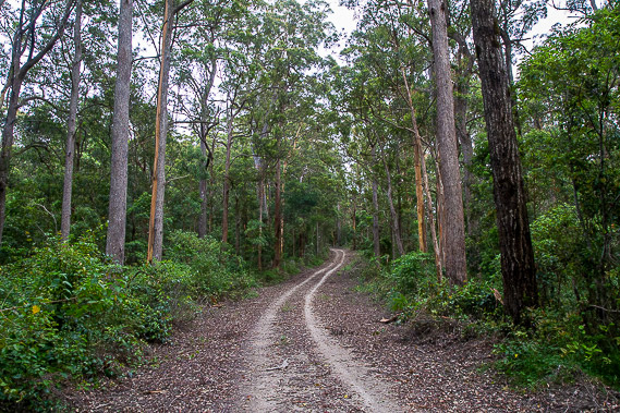
From the lookout, I walk over the top of the Mount Nebo Summit and continue following the dense forest along the Mount Nebo Firebreak along the top of the ridge. This descends to Mount Nebo Road, which I cross and follow a short distance to the Dundas Road firebreak road. From here I follow the track along the gradually descending ridge. |
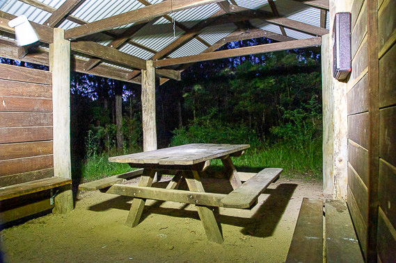 |
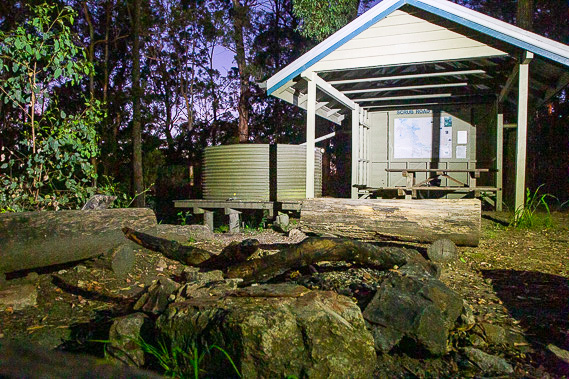
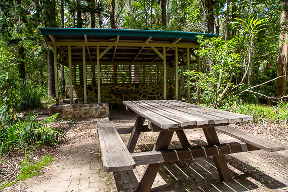
After following Dundas Road for two kilometres, I reach Dundas Road Bush Camp where it intersects Goodes Road and Cabbage Tree Road. This is a very similar camping ground to Scrub Road, with a nice little shelter and three tent sites. Here I settle for my second night on the range. |
|