Introduction to today's journey
Today's journey begins descending the range along Lawton Road then Cattle Break to Northbrook Creek near White Cedar Park. Once across the creek the track rises steeply along Switchback Road to Range Road, which follows the top of the range heading westward to the junction of the Mount Sim Jue track. From here Range Road turns northward to continue following the top of the range through the remotest corner of the park at some stage heading into the northern section of the park before descending to a saddle where the track reaches the four wheel drive road coming up from Lacey's Creek and continuing along the top of the range ascending a long way to the rainforest covered Kluver's Lookout, where I stop before continuing along the road descending to the junction of May's Road, one of the horse trails, where I set up camp.
Distance hiked today: 23.7km
Total distance hiked: 129.4km
Today's Journey
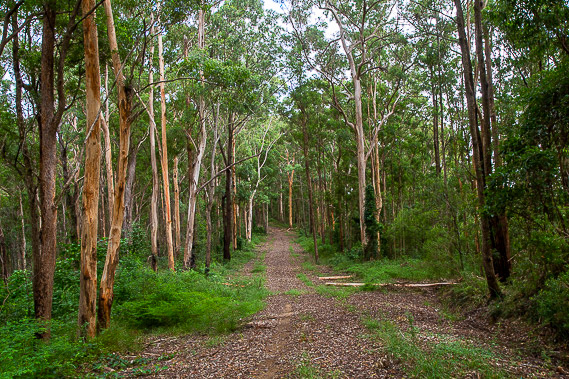 |
Departing Northbrook Bush Camp shortly after sunrise, I follow Goodes Road down the top of a ridge through the eucalypt forest. It is an easy and peaceful descent in the quietness of this remote corner of the national park. |
 |
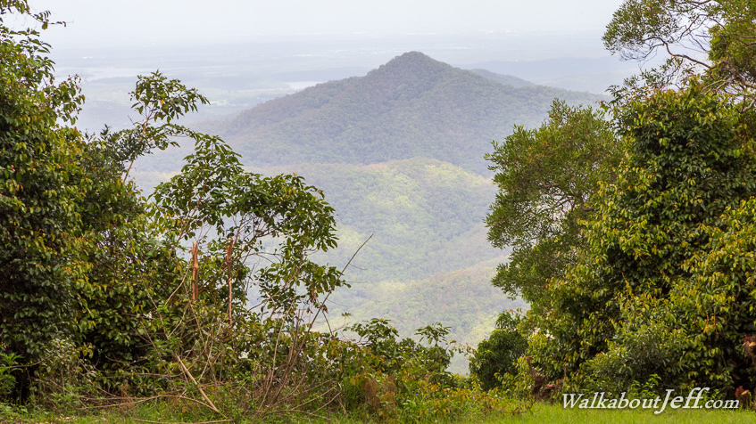
The forest is dense but I do get a glimpse of the lake of Wivenhoe Dam in the middle of the Brisbane Valley with the Great Dividing Range visible in the distance now appearing a little closer than it had done yesterday. |
 |
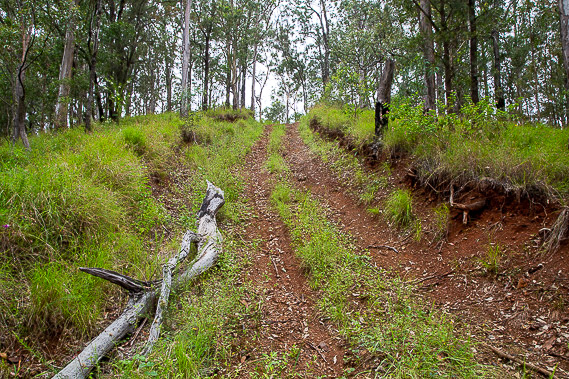
I turn off Lawton Road to follow Cattleyard Break down a long spur towards Northbrook Creek. The track is a bit rough but most of the descent isn't steep. |
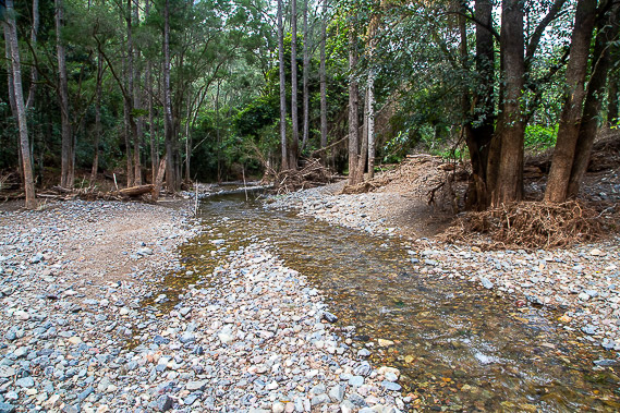 |
I reach the bottom of the valley where Northbrook Creek flows towards Wivenhoe Dam. After resting I cross the stream and shortly afterwards cross the road which has descended from Mount Glorious towards the Brisbane Valley. Once across the road I continue following a track heading back into the bush. |
 |
The unnamed track steeply rises to the top of Switchback Spur, along which Switchback Road rises gently before starting a steep ascent towards the top of the range. |
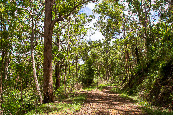 |
Once on top of the D'Aguilar Range, Switchback Road joins with Range Road, heading from Wivenhoe Lookout about an hour away in the other direction. Range Road follows the top of the range heading towards Mount Mee. This gives me easy passage along the top of the remotest section of the range. The road rises and falls with the range, initially heading westward before turning northward at the point where I leave the southern end of the national park to enter its northern end.. From here I continue following the top of the range before dropping to a saddle. |
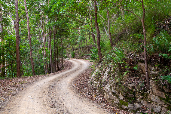 |
It is nearly midday when I reach the saddle, where Laceys Creek Road meets the Range Road Track. The road heading down the valley and along the range from here is a four wheel drive road, so I'll need to look out for the occasional vehicle after having crossed the remotest part of the national park closed to vehicles. |
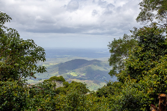 |
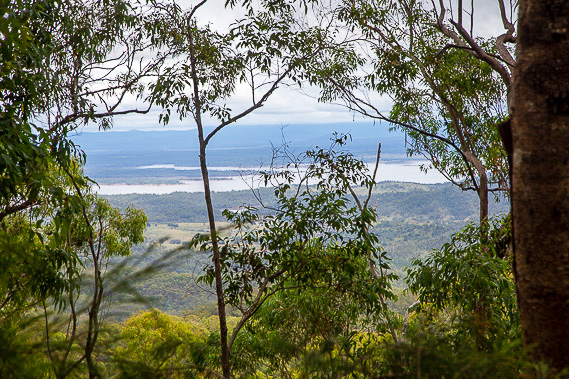
The road steadily rises along the range gaining altitude before reaching a small car park near the summit of Kluver's Lookout in the late afternoon. The lookout is on the highest peak on the northern section of the range at 683 metres above sea level. A gap in the trees affords views down to Dayboro and into the Pine Rivers in the distance, with Lake Samsonvale just visible to the right. It is the middle of the afternoon. |
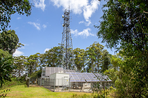 |
Behind the lookout is a large solar powered communications tower strategically located here at the top of the highest point of the range set in amongst the rainforest. |
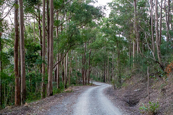 |
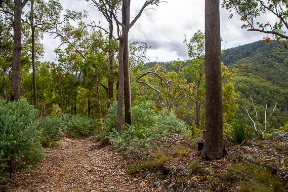
After resting at Kluver's Lookout, I continue following Range Road descending through the dense forest along the top of the range. I hike about an hour descending along the top of the range, until finding a small camp spot at the first junction of May Creek Road horse trail. There are no camping grounds for a long way in either direction, so I settle here for the night. |
|