Introduction to today's journey
Today's journey starts from The Gantry following the gravel road down to Bull's Falls and lookout before continuing to Neurum Creek Camp. After resting there, I return to the main track before crossing the creek and heading up Top Road out of the national park entering the fertile farmland of Mount Mee. I follow Settlement Road to the village, and continue along Mount Mee Road to end the day with a sunset at Dahmongah Lookout Park with a view down to the Glasshouse Mountains.
Distance hiked today: 26.9km
Total distance hiked: 184.3km
Today's Journey
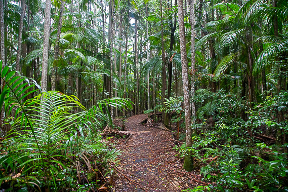 |
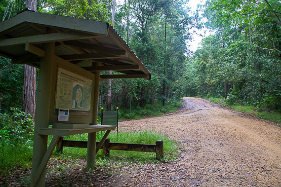
Rain is falling from the thick misty clouds enshrouding the plateau as I leave The Gantry shortly after sunrise following a short rainforest walk along the Piccabean Circuit.
|
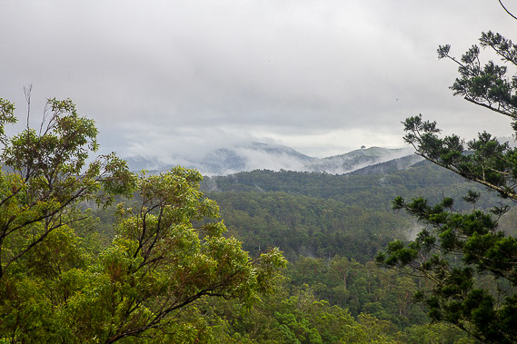 |
After completing the circuit, I start following the gravel Neurum Creek Road off the top of the plateau descending into the valley. After a kilometre I divert following the Falls Track to this lookout and to nearby Bulls Falls. Clouds still cover the plateau but the afternoon rain has stopped falling. Looking across the valley I can see some farmland on the most distant ridges where I will be exploring tomorrow. |
 |
From the falls I follow the gravel road descending deep into the valley, before rising through the bush to the top of a spur and descending back into the valley again. |
 |
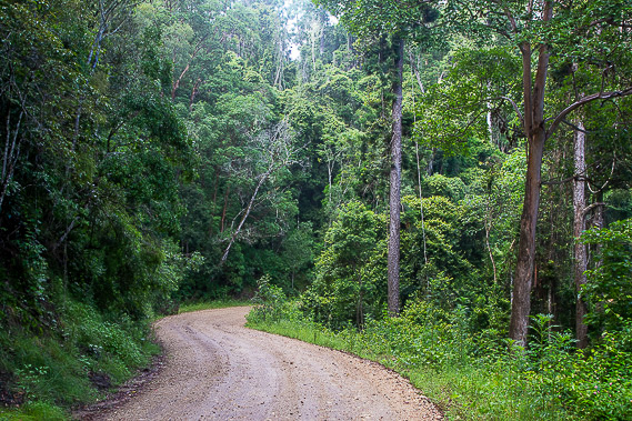
Returning to the road, I follow it for several more kilometres as it descends into the valley, where the forest becomes pine forestry for a while before returning to native forest. From the bottom of the valley the road then rises to go around a bluff, then descends again to Neurum Creek Camping ground where I stop for a break before returning to the main trail to continue the trek.
|
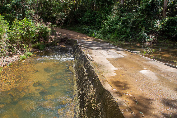 |
The road descends to this ford crossing Neurum Creek. From here the road begins rising again, reaching a junction just before Rocky Hole to Top Road firebreak, which I ascend the hill on the other side of the valley. |
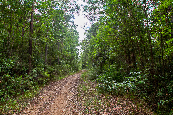 |
Top Road firebreak goes for quite some distance through the regenerating forest, rising high above Neurum Creek and passing through the junctions of several smaller firebreaks. Top Road gains almost all the elevation I lost this morning since leaving The Gantry. |
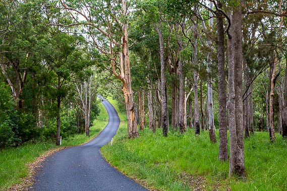 |
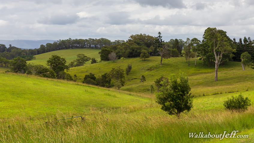
The trail reaches the end of a T junction with Centipede Road, which I follow to a gate marking the end of the national park. From here I hike along public roads passing through the fertile farmland of the eastern side of Mount Mee Plateau. Centipede Road ends turning into the sealed Settlement Road over the rolling hills for about nine kilometres towards Mount Mee Village. |
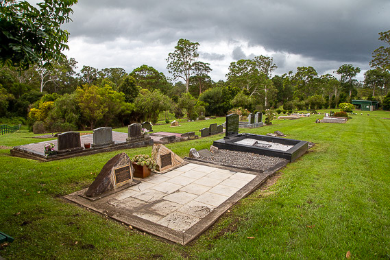 |
About half way to the village, I stop at the Mount Mee Cemetery where past residents of this beautiful area are buried. The grass is very green thanks to this being a La Nina summer, with plenty of rain. South East Queensland generally gets 1-3 years of rainy La Nina followed by perhaps 7-8 dry El Nino years. |
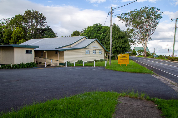 |
It is the middle of the afternoon when I reach Mount Mee Village. The village itself is just a small school (established in 1899), a hall which opened in 1933 and a community church near the edge of the plateau. It is believed Mount Mee is derived from a local Aboriginal word for view, due to the impressive views I'll be getting soon. |
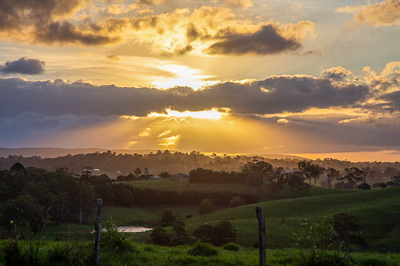 |
From the village, I follow Mount Mee Road until reaching the rest area at Dahmongah lookout, the Aboriginal name for the plateau named after the flying squirrel. From the lookout I watch the sunset over the plateau I have just crossed, with the higher ridge of the Somerset Escarpment where I had been early yesterday afternoon visible in the far distance. |
|