Introduction to today's journey
Today's journey starts with a short walk down the valley to Gheerulla Falls before returning to Ubajee. Once packed up I return along the Great Walk a couple of kilometres before diverting along the Piccabean Circuit to Mapleton Day Use Area. After resting there I follow Turpentine Track along its length, then the gravel Mapleton Forest Road off the plateau descending into the upper streams of the Maroochy River before going over another hill and descending to the shore of Cooloolabin Dam. From here a short uphill along the Glorious Viewpoint Road leads to a long descending Bottle and Glass Road to the bottom of the range at Brown's Creek Road near Yandina.
Distance hiked today: 25.7km
Total distance hiked: 417.7km
Today's Journey
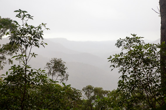 |
From the camping ground I head to the nearby outlook over Gheerulla Valley looking towards Mary Valley. The great walk continues along the botton of this valley and returns along the ridge to the left where the third camping ground Thilba Thalba is located. The track eventually completes the circuit and return up here to Ubajee before ending at the end of leafy lane. The SEQ trek does not include this loop, but instead heading to the right and behind where I'm looking deeper into Mapleton National Park. |
 |
I return to the camping ground as steady rain falls to pack up and begin my hike across to the far side of Mapleton National Park today. |
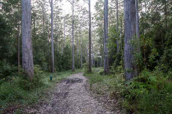 |
Once packed up I return along Leafy Lane for about a kilometre passing between the tall trees before turning right to follow another firebreak track along the Piccabeen Circuit. Although they are massive, these trees are nothing compared to the giants filling this forest before they were cut down during the logging days. |
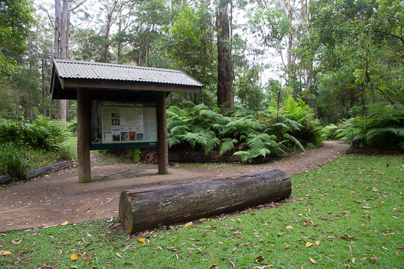 |
After hiking a couple of kilometres along the Piccabeen Circuit, I reach Mapleton Day Use Area, where I rest at one of the picnic tables in the bush. The rain has cleared by now but the sky is still overcast. |
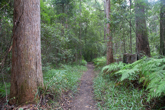 |
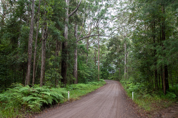
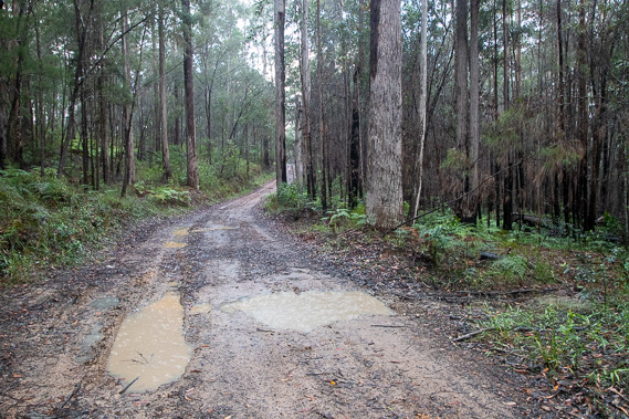
From Mapleton Day Use Area, I follow Turpentine Trail continuing through the heart of the national park running northward roughly parallel to Mapleton Forest Road. |
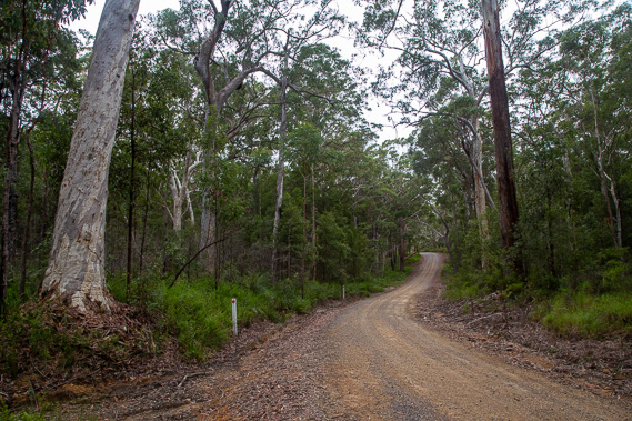 |
The track eventually ends, but I continue heading northward following Mapleton Forest Road which descends from the top of the range into a deep valley, before climbing the other side and dropping again over about eight kilometres. The forest has changed to a more ancient gnarly wilderness more exposed to the elements here along the northern end of the range. |
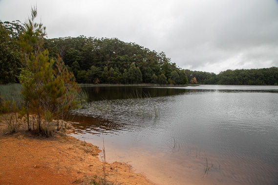 |
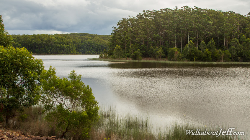
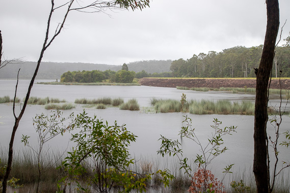
I reach the shores of Cooloolabin Dam, a water supply for the northern Sunshine Coast. It is a tranquil lake at the surprisingly high elevation of 298 metres, surrounded by bush clad hills. |
 |
I follow a walking track around part of the lake as the rain starts falling again. Upon reaching the end of the track I continue walking along the dam wall towards the hills over the far side of the lake. |
 |
I leave the lake climbing back up the range along Buckby Road which heads a long distance to the Point Glorious Lookout. My route only stay on this road for about a kilometre before turning off to the right following Beer Break down a ridge. |
 |
The hike along Beer Break towards the edge of the national park is long as the rain starts falling again. Other firebreaks named after various alcoholic beverages extend from either side of Beer Break dropping into the gullies below. The rain intensifies as I follow the last moderately steep section down the bottom of the long hill to the small car park at Brown's Creek Road where I finish today's hike. |
|